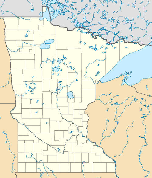
Battleground State Forest
| Battleground State Forest | |
|---|---|
 | |
| Geography | |
| Location | Cass County, Minnesota, United States |
| Coordinates | 47°07′25″N 94°08′06″W / 47.1237°N 94.135°WCoordinates: 47°07′25″N 94°08′06″W / 47.1237°N 94.135°W |
| Area | 17,969 acres (7,272 ha) |
| Established | 1963 |
| Governing body | Minnesota Department of Natural Resources |
| Website |
www |
| Ecology | |
| WWF Classification | Western Great Lakes Forests |
| EPA Classification | Northern Lakes and Forests |
The Battleground State Forest is a state forest located near Gould Township in Cass County, Minnesota. It is managed by the Minnesota Department of Natural Resources. It lies entirely within the boundaries of the Chippewa National Forest, additionally, and a portion of the forest falls within the borders of the Leech Lake Indian Reservation.
Outdoor recreation activities include hiking and mountain biking on provided trails, as well as backcountry camping. Swimming and fishing are an option on bordering Leech Lake, boating is possible due to the forest's two public access boat launches.[1]
References
- ↑ "Battleground State Forest". Minnesota Department of Natural Resources. 2010-08-16. Archived from the original on 25 August 2010. Retrieved 2010-08-17.
This article is issued from Wikipedia - version of the 9/13/2016. The text is available under the Creative Commons Attribution/Share Alike but additional terms may apply for the media files.