Batiki
| Batiki | |
|---|---|
| Island | |
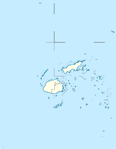 Batiki Location in Fiji | |
| Coordinates: 17°47′S 179°09′W / 17.783°S 179.150°WCoordinates: 17°47′S 179°09′W / 17.783°S 179.150°W | |
| Country | Fiji |
| Island group | Lomaiviti Islands |
| Area | |
| • Total | 12 km2 (5 sq mi) |
| Population | |
| • Total | 300 |
| • Density | 25/km2 (65/sq mi) |
Batiki is an island of Fiji belonging to the Lomaiviti Archipelago. The island is of volcanic origin, with a land area of about 12 square kilometers. Its latitude is 17°47'; its longitude is 179° 9'.
Its population of approx. 300 Fijians lives in coastal villages. Economic activity is subsistence farming and fishing. The island has no airport or roads, transport is by local cargo vessels or small boats. There is a primary school on this island~approx.50 local students with only 4 teachers. There is also a nursing station manned by a registered staff nurse. She looks after the health of the people. Cases she cannot manage are referred either to Qarani Health centre or Levuka hospital. Transportation is mainly fibre speed boats. The nursing station is only open from 8am to 4.30pm weekdays but is also on stand-by after hours in case of emergencies.
There is also a small local postal agency-deals with mails, telegrams, money transfers etc. Opening hours from 10am to 12md and 2pm to 4pm. Also open in case of any emergency from the local nurse or anyone needing any urgent phonecall to relatives living on the mainland.
Yavu village is the Paramount chiefly residence of the "Toranibau Nakarawa Na Komaivunivesi". There are 4 villages on the island: Yavu, Mua, Manuku, Naigani.