Barunga Range
| Barunga Range | |
|---|---|
 | |
| Geography | |
| Country | Australia |
| State | South Australia |
| Region | Mid North |
| Range coordinates | 33°27′18″S 138°09′48″E / 33.455°S 138.1633°ECoordinates: 33°27′18″S 138°09′48″E / 33.455°S 138.1633°E |
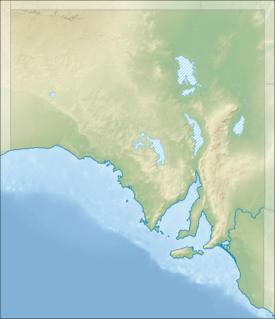
The Barunga Range is a range of hills starting near Clements Gap and Merriton in South Australia's Mid North.[1] At the range's southern end it merges with Hummock Range at Barunga Gap, approximately 10 kilometres (6.2 mi) south west of Snowtown.[2] The name 'Barunga', which was also used to name the cadastral Hundred of Barunga which approximates the area of the Barunga Range, derives from an indigenous term meaning gap in the range.[3]
The Barunga and Hummock ranges are host to the Clements Gap and Snowtown wind farms.
References
- ↑ "Barunga Range". Geoscience Australia, Government of Australia. Archived from the original on 11 October 2012. Retrieved 15 July 2011.
- ↑ "Placename Details: Hummock Range". Property Location Browser. Government of South Australia. 18 January 2011. SA0031501. Retrieved 3 January 2015.
- ↑ "Search for 'Hundred of Barunga' (ID SA0005062)". Land Services, Government of South Australia. Retrieved 17 February 2016.
ABNA for gap in the range
This article is issued from Wikipedia - version of the 10/27/2016. The text is available under the Creative Commons Attribution/Share Alike but additional terms may apply for the media files.