Barton Mills

| Barton Mills | |
 Barton Mills |
|
| Population | 1,052 (Incuding Culford 2011 census)[1] |
|---|---|
| District | Forest Heath |
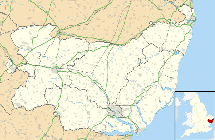
| Shire county | Suffolk |
| Region | East |
| Country | England |
| Sovereign state | United Kingdom |
| Post town | Bury St Edmunds |
| Postcode district | IP28 |
| EU Parliament | East of England |
Coordinates: 52°20′06″N 0°31′12″E / 52.335°N 0.52°E
Barton Mills is a village and civil parish in the Forest Heath district of Suffolk, England. The village is on the south bank of the River Lark. According to Eilert Ekwall the meaning of the village name is Corn farm by the mill. The village was originally called Barton Parva (Little Barton).[2][3] The name changed in the eighteenth century and it has been postulated that over time the travellers from London to Norwich used Little Barton as a half way house and began using the name Barton Mills. Hence the modern name we know now.
The Domesday Book records the population of Barton Mills in 1086 to be 24.
The village is near the Fiveways Roundabout, a busy junction where the A11 London to Norwich trunk road, the A1065 towards North Norfolk and the A1101 (Long Sutton (Lincolnshire) to Bury St.Edmunds) roads meet. After many years of planning and debate the A11 towards Thetford was finally upgraded to a dual carriageway in late 2014.
The village was once the holiday retreat for Alexander Fleming, and there is a plaque on the wall outside his country home, The Dhoon, in the main street.
Barton Mills also enjoys celebration of the biannual Scarecrow Festival, held in July. The main road through the village is closed to traffic (except to residents) and a two-day-long festival which includes musical bands, food, dancing, car boot sales at the local playing fields, and of course, the viewing of scarecrows created by any resident who wished to do so. This festival has also been featured in Guinness Book of World Records, boasting the most scarecrows ever built at any one time.
References
- ↑ "Civil Parish population 2011". Neighbourhood Statistics. Office for National Statistics. Retrieved 19 August 2016.
- ↑ Barbara Vesey, The Hidden Places of East Anglia: Including Essex, Suffolk, Norfolk and Cambridgeshire, p135, (Travel Publishing Ltd), 3 Apr 2003
- ↑ George Kearsley, Kearsley's traveller's entertaining guide through Great Britain; or, A description of the principal cross-roads, p14, 1801
External links
| Wikimedia Commons has media related to Barton Mills. |