Barringun, Queensland
| Barringun Queensland | |||||||||||||
|---|---|---|---|---|---|---|---|---|---|---|---|---|---|
 Barringun | |||||||||||||
| Coordinates | 28°51′41″S 145°47′32″E / 28.86139°S 145.79222°ECoordinates: 28°51′41″S 145°47′32″E / 28.86139°S 145.79222°E | ||||||||||||
| Postcode(s) | 4490 | ||||||||||||
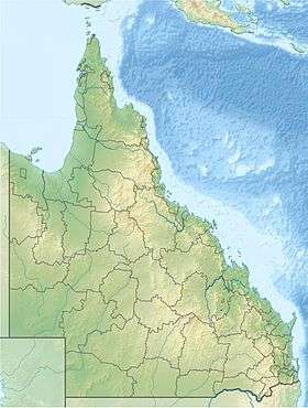
| Location |
| ||||||||||||
| LGA(s) | Shire of Paroo | ||||||||||||
| State electorate(s) | Warrego | ||||||||||||
| Federal Division(s) | Maranoa | ||||||||||||
| |||||||||||||
Barringun is a rural locality in Paroo Shire, Queensland, Australia, on the border with New South Wales. Barringun is also the capital of the self-proclaimed Murrawarri Republic.[1]
History
The name Barringun derives from an early settlement (possibly a pastoral station) on the Warrego River, which can be seen on an 1887 map as being just south of the New South Wales border. It is possibly an Aboriginal word meaning fish die in the water.[1]
Heritage listings
Barringun has a heritage-listed site: East Bank, Warrego River at the border with New South Wales: Zero Obelisk[2]
References
- 1 2 "Barringun (entry 42650)". Queensland Place Names. Queensland Government. Retrieved 12 July 2013.
- ↑ "Zero Obelisk (entry 600763)". Queensland Heritage Register. Queensland Heritage Council. Retrieved 12 July 2013.
External links
![]() Media related to Barringun, Queensland at Wikimedia Commons
Media related to Barringun, Queensland at Wikimedia Commons
- Architectural drawing of the Customs Quarters, Burringun [Barringun], c 1887, Queensland State Archives, 1880
This article is issued from Wikipedia - version of the 9/5/2016. The text is available under the Creative Commons Attribution/Share Alike but additional terms may apply for the media files.