Barnes Ice Cap
| Barnes Ice Cap | |
|---|---|
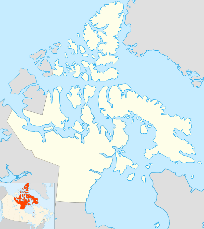 Location in Nunavut, Canada | |
| Type | Ice cap |
| Location | Baffin Island |
| Coordinates | 70°0′N 73°30′W / 70.000°N 73.500°WCoordinates: 70°0′N 73°30′W / 70.000°N 73.500°W |
The Barnes Ice Cap is an ice cap located in central Baffin Island, Nunavut, Canada.
Geography
It covers close to 6,000 km2 (2,300 sq mi) in the area of the Baffin Mountains. It has been thinning due to regional warming.[1] Between 2004 and 2006, the ice cap was thinning at a rate of 1 metre (3 ft 3 in) per year.
The ice cap contains Canada's oldest ice, some of it being over 20,000 years old.[2] It is a remnant of the Laurentide ice sheet, which covered much of Canada during the last glacial period of the Earth's current ice age. Generator Lake is located at the southeastern end of the ice cap.[3]
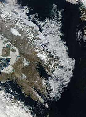 The Barnes Ice Cap on Baffin Island. |
 A portion of the Barnes Ice Cap near its south-eastern end. |
See also
References
- ↑ Sneed, William; Hooke, Roger; Hamilton, Gordon (January 2008), "Thinning of the south dome of Barnes Ice Cap, Arctic Canada, over the past two decades", GeoScienceWorld, v.36, no. 1: 71–74, doi:10.1130/G24013A.1
- ↑ "Canada's oldest ice formation melting at alarming rate, scientists say" (Press release). CanWest News Service. Jan 9, 2008. Archived from the original on 2011-05-11. Retrieved Jan 6, 2010.
- ↑ NRCan - Generator Lake
This article is issued from Wikipedia - version of the 11/27/2016. The text is available under the Creative Commons Attribution/Share Alike but additional terms may apply for the media files.