Baramita Airport
| Baramita Airport | |||||||||||
|---|---|---|---|---|---|---|---|---|---|---|---|
| IATA: BMJ – ICAO: SYBR | |||||||||||
| Summary | |||||||||||
| Serves | Baramita | ||||||||||
| Elevation AMSL | 499 ft / 152 m | ||||||||||
| Coordinates | 7°22′20″N 60°29′15″W / 7.37222°N 60.48750°WCoordinates: 7°22′20″N 60°29′15″W / 7.37222°N 60.48750°W | ||||||||||
| Map | |||||||||||
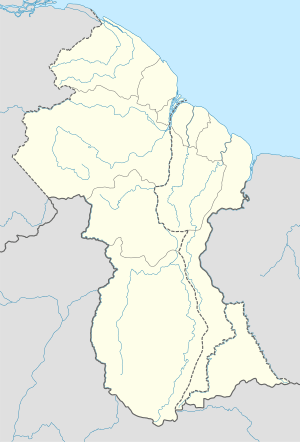 BMJ Location in Guyana | |||||||||||
| Runways | |||||||||||
| |||||||||||
Baramita Airport (IATA: SYBR, ICAO: BMJ) is an airport serving the Amerindian village of Baramita, in the Barima-Waini Region of Guyana.
See also
 Guyana portal
 Aviation portal
- List of airports in Guyana
- Transport in Guyana
References
- ↑ HERE/Nokia - Baramita
- ↑ Airport information for BMJ at Great Circle Mapper.
- ↑ SkyVector Aeronautical Charts
External links
This article is issued from Wikipedia - version of the 5/29/2016. The text is available under the Creative Commons Attribution/Share Alike but additional terms may apply for the media files.