Bandora, Goa
| Bandora | |
|---|---|
| city | |
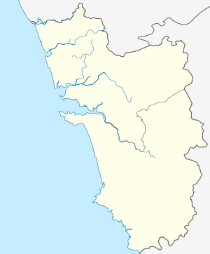 Bandora  Bandora Location in Goa, India | |
| Coordinates: 15°24′N 73°58′E / 15.40°N 73.97°ECoordinates: 15°24′N 73°58′E / 15.40°N 73.97°E | |
| Country |
|
| State | Goa |
| District | North Goa |
| Elevation | 107 m (351 ft) |
| Population (2001) | |
| • Total | 12,264 |
| Languages | |
| • Official | Konkani |
| Time zone | IST (UTC+5:30) |
| Vehicle registration | GA |
| Website |
goa |
Bandora is a census town in Ponda Taluka in North Goa district in the state of Goa, India.
Geography
Bandora is located at 15°24′N 73°58′E / 15.40°N 73.97°E.[1] It has an average elevation of 107 metres (351 feet).
Demographics
As of 2001 India census,[2] Bandora had a population of 12,264. Males constitute 54% of the population and females 46%. Bandora has an average literacy rate of 71%, higher than the national average of 59.5%; with 59% of the males and 41% of females literate. 10% of the population is under 6 years of age.
Archaeology
An ancient Jain temple of Tirthankara Neminatha was found in Bandora, Goa belonging to 1425 AD which is an archaeological site now.[3][4][5]
References
- ↑ Falling Rain Genomics, Inc - Bandora
- ↑ "Census of India 2001: Data from the 2001 Census, including cities, villages and towns (Provisional)". Census Commission of India. Archived from the original on 2004-06-16. Retrieved 2008-11-01.
- ↑ TNN (24 November 2008), Singular pre-Portuguese monument crumbling from neglect Paul Fernandes finds that the Jain basti at Bandora requires conservation, Goa: The Times of India
- ↑ Shenoy, Balaji (11 February 2015), Ruins of Neminath Jain Basti at Bandora, The Navhind Times
- ↑ Kerkar, Rajendra; TNN (31 October 2014), Jain heritage dwindles as govt sits pretty, The Times of India
This article is issued from Wikipedia - version of the 9/14/2016. The text is available under the Creative Commons Attribution/Share Alike but additional terms may apply for the media files.