Banatski Monoštor
| Banatski Monoštor Банатски Моноштор Kanizsamonostor | |
|---|---|
| Village | |
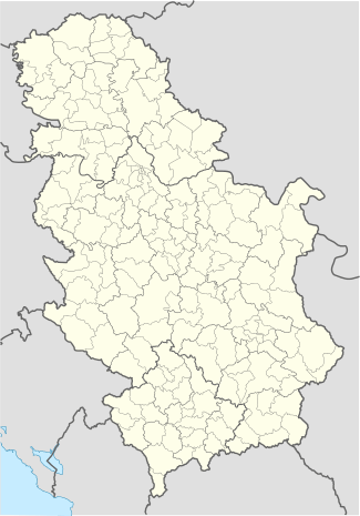 Banatski Monoštor Location of Banatski Monoštor within Serbia | |
| Coordinates: 45°57′24″N 20°16′33″E / 45.95667°N 20.27583°ECoordinates: 45°57′24″N 20°16′33″E / 45.95667°N 20.27583°E | |
| Country | Serbia |
| Province | Vojvodina |
| District | North Banat |
| Elevation | 82 m (269 ft) |
| Population (2002) | |
| • Banatski Monoštor | 135 |
| Time zone | CET (UTC+1) |
| • Summer (DST) | CEST (UTC+2) |
| Area code(s) | +381(0)23 |
| Car plates | KI |
Banatski Monoštor (Serbian Cyrillic: Банатски Моноштор; Hungarian: Kanizsamonostor) is a village in Serbia. It is situated in the Čoka municipality, in the North Banat District, Vojvodina province. The village has a Hungarian ethnic majority (94.81%) and its population numbering 135 people (2002 census).
See also
This article is issued from Wikipedia - version of the 6/10/2016. The text is available under the Creative Commons Attribution/Share Alike but additional terms may apply for the media files.