Baguliaghat
| Baguliaghat | |
|---|---|
| town | |
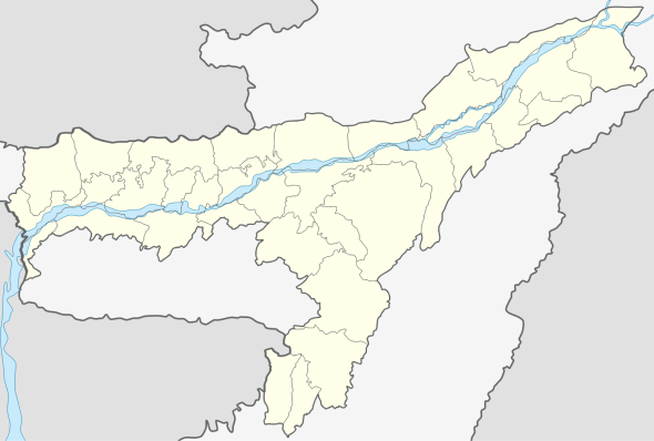 Baguliaghat  Baguliaghat Location in Assam, India | |
| Coordinates: 26°5′0″N 93°12′0″E / 26.08333°N 93.20000°ECoordinates: 26°5′0″N 93°12′0″E / 26.08333°N 93.20000°E | |
| Country |
|
| State | Assam |
| District | Karbi Anglong |
| Elevation | 84 m (276 ft) |
| Languages | |
| • Official | Assamese |
| Time zone | IST (UTC+5:30) |
| Vehicle registration | AS |
Baguliaghat is a town in Karbi Anglong district, Assam, India.
Geography
It is located at an elevation of 84 m above MSL.[1]
Location
Baguliaghat is connected by National Highway 36 to Nagaon and Dimapur. Nearest airport is Dimapur Airport.
Educational institutions
- All Saint English High School and Residential
- Rukasen College
References
External links
This article is issued from Wikipedia - version of the 9/15/2016. The text is available under the Creative Commons Attribution/Share Alike but additional terms may apply for the media files.