Bagaces District
| Bagaces | |
|---|---|
|
District | |
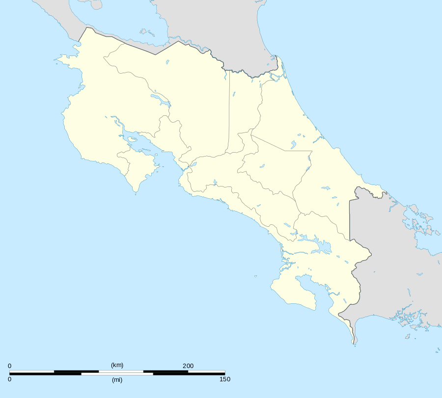 Bagaces Location in Costa Rica | |
| Coordinates: 10°31′40″N 85°15′35″W / 10.52778°N 85.25972°W | |
| Country | Costa Rica |
| Province | Guanacaste |
| Canton | Bagaces |
| Area | |
| • Total | 886.72 km2 (342.36 sq mi) |
| Population (2013) | |
| • Total | 13,791 |
| • Density | 16/km2 (40/sq mi) |
| Postal code | 50401 |
Bagaces District is a district in Bagaces Canton, in the Guanacaste Province of Costa Rica. The town of Bagaces is the administrative seat. The Inter-American Highway runs east west through the middle of the district.
The district has a population of about 13,800 people.[1]
Communities
In addition to the town of Bagaces, the district includes the towns of Pijije, Montenegro, Montano, and Salitral.[2]
Notes
- ↑ Estadísticas Vitales 2013 - INEC
- ↑ "Bagaces Canton Map" Instituto de Fomento y Asesoría Municipal, 1985
Coordinates: 10°32′N 85°15′W / 10.533°N 85.250°W
This article is issued from Wikipedia - version of the 10/24/2016. The text is available under the Creative Commons Attribution/Share Alike but additional terms may apply for the media files.