Aumontzey
| Aumontzey | |
|---|---|
|
Église Notre-Dame-du-Saint-Rosaire | |
 Aumontzey | |
|
Location within Grand Est region  Aumontzey | |
| Coordinates: 48°10′04″N 6°46′33″E / 48.1678°N 6.7758°ECoordinates: 48°10′04″N 6°46′33″E / 48.1678°N 6.7758°E | |
| Country | France |
| Region | Grand Est |
| Department | Vosges |
| Arrondissement | Saint-Dié-des-Vosges |
| Canton | Corcieux |
| Intercommunality | Monts de Vologne |
| Government | |
| • Mayor (2008–2014) | Maurice Jechoux |
| Area1 | 3.37 km2 (1.30 sq mi) |
| Population (2006)2 | 470 |
| • Density | 140/km2 (360/sq mi) |
| Time zone | CET (UTC+1) |
| • Summer (DST) | CEST (UTC+2) |
| INSEE/Postal code | 88018 / 88640 |
| Elevation |
454–732 m (1,490–2,402 ft) (avg. 471 m or 1,545 ft) |
|
1 French Land Register data, which excludes lakes, ponds, glaciers > 1 km² (0.386 sq mi or 247 acres) and river estuaries. 2 Population without double counting: residents of multiple communes (e.g., students and military personnel) only counted once. | |

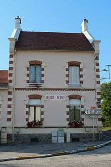
Town hall
Aumontzey is a former commune in the Vosges department in northeastern France. On 1 January 2016, it was merged into the new commune Granges-Aumontzey.[1]
See also
References
- ↑ Arrêté préfectoral 28 September 2015 (French)
| Wikimedia Commons has media related to Aumontzey. |
This article is issued from Wikipedia - version of the 11/21/2016. The text is available under the Creative Commons Attribution/Share Alike but additional terms may apply for the media files.