Atenas
| Atenas | |
|---|---|
| City | |
|
Catholic church in central Atenas | |
| Motto: | |
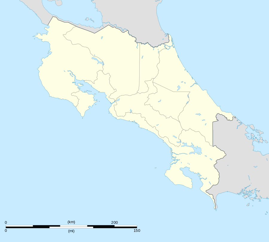 Atenas Location in Costa Rica | |
| Coordinates: 9°59′N 84°23′W / 9.983°N 84.383°W | |
| Country | Costa Rica |
| Province | Alajuela Province |
| Canton | Atenas |
| Area | |
| • City | 8.93 km2 (3.45 sq mi) |
| Elevation | 698 m (2,290 ft) |
| Population (2012) | |
| • City | 5,000 |
| • Density | 560/km2 (1,500/sq mi) |
| • Metro | 27,000 |
| Climate | Aw |


Atenas (ah-TEN-nahss) is the capital city of the canton of Atenas in the province of Alajuela in Costa Rica. It is also the name of the distrito (district) that includes the city.
The district of Atenas covers an area of 8.93 km²,[1] and has a population of approx. 27,000 inhabitants. [2] The city of Atenas itself has about 5,000 inhabitants.[3] Its name means Athens (Αθήνα), the capital of Greece.
Geography
The city lies at an elevation of 698 meters above sea level[1] on the western edge of the Central Valley (Valle Central), 25 kilometers southwest of the provincial capital city of Alajuela, 20 kilometers from Juan Santamaria International Airport, and 35 kilometers from the national capital city of San Jose.
The town is surrounded by mountains and coffee plantations. It is located in a prosperous agricultural area which hosts a weekly farmer's market on Friday mornings. The town center features an immaculate, white church and a picturesque park lined with palm trees. There is a community health center, pharmacies, doctors, dentists, tennis court, fitness center, swimming pools, parks, banks, shops, bed-and-breakfasts, and restaurants in the village.
Atenas is a popular place for North American and European retirees.[4]
There are four major real estate developments with existing homes and building lots: Roca Verde, Vista Atenas, Lomas Al Paraiso and Hacienda Atenas. There are other real estate developments in various stages of completion.
In mid-October 2011, a major landslide occurred on the Atenas exit of the Autopista del Sol. The exit has since re-opened improving travel time to San Jose, Escazu and Pacific beaches.
Climate & Topography
It is popularly said that Atenas enjoys the 'best climate in the world'; the reason for this attribution is that climatic factors like temperature and humidity are stable all year round, with temperatures ranging from 19 Celsius at night to 34 Celsius during the day with a yearly average of 26 Celsius.
It also has a varied sets of altitudes starting at 300 meters above sea level in the Balsa and Rio Grande areas ascending to up to 1,200 meters above sea level in the San Isidro area. This wide spectrum of heights provides to marked and well defined climatic subregions within the greater Atenas area.

References
Coordinates: 9°59′N 84°23′W / 9.983°N 84.383°W