Aste Airfield
| Aste Airfield | |||||||||||
|---|---|---|---|---|---|---|---|---|---|---|---|
| IATA: none – ICAO: none | |||||||||||
| Summary | |||||||||||
| Airport type |
| ||||||||||
| Operator |
| ||||||||||
| Location | Kuressaare | ||||||||||
| Elevation AMSL | 69 ft / 21 m | ||||||||||
| Coordinates | 58°21′38″N 022°26′49″E / 58.36056°N 22.44694°ECoordinates: 58°21′38″N 022°26′49″E / 58.36056°N 22.44694°E | ||||||||||
| Map | |||||||||||
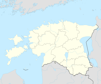 Aste Airfield Location in Estonia | |||||||||||
| Runways | |||||||||||
| |||||||||||
|
Sources: [1] | |||||||||||
Asta (Estonian: Aste) was a Soviet air base in Estonia located near the town of Aste, 12 km (7.5 mi) north of Kuressaare. It is on Saaremaa Island, and was listed on the 1974 Department of Defense Global Navigation Chart No. 3 as having jet facilities. It was probably a front-line interceptor or dispersal base. In the 1980s or 1990s it was plowed under. Very little of the base remains.
References
- ↑ Aste Airfield at Forgotten Airfields
This article is issued from Wikipedia - version of the 12/4/2016. The text is available under the Creative Commons Attribution/Share Alike but additional terms may apply for the media files.