Arvidsjaur
| Arvidsjaur Árviesjávrrie | |
|---|---|
|
Arvidsjaur Church | |
 Arvidsjaur 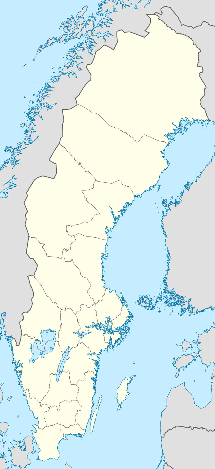 Arvidsjaur | |
| Coordinates: 65°35′N 19°10′E / 65.583°N 19.167°ECoordinates: 65°35′N 19°10′E / 65.583°N 19.167°E | |
| Country | Sweden |
| Province | Lapland |
| County | Norrbotten County |
| Municipality | Arvidsjaur Municipality |
| Area[1] | |
| • Total | 4.67 km2 (1.80 sq mi) |
| Population (31 December 2010)[1] | |
| • Total | 4,635 |
| • Density | 993/km2 (2,570/sq mi) |
| Time zone | CET (UTC+1) |
| • Summer (DST) | CEST (UTC+2) |

Arvidsjaur (Northern Sami: Árviesjávrrie) is a locality and the seat of Arvidsjaur Municipality in Norrbotten County, province of Lapland, Sweden with 4,635 inhabitants in 2010.[1]
Arvidsjaur is a center for the European car industry. During the winter months, major car-manufacturers perform arctic trials in the Arvidsjaur Municipality. The town also fosters tourism by offering snowmobile tours, trekking, skiing, fishing and dogsled rides. If things go to plan, Arvidsjaur will be the location of the front legs of the world's biggest moose – Stoorn – a tourist attraction to be built from Arvidsjaur to Skellefteå in Västerbotten.
Sport
The following sports clubs are in Arvidsjaur:
Transport
Arvidsjaur has established rail and road networks, and also has an airport, with daily flights to Stockholm, and seasonal ones to destinations in Germany. The railway Inlandsbanan has only tourist trains in the summer. There are buses to Gällivare, Östersund, Skellefteå, Piteå, Luleå and more local places.
Climate
Arvidsjaur has a subarctic climate that is dominated by the long winters and briefly interrupted by moderately warm but very bright summers due to its northerly latitude.
| Climate data for Arvidsjaur (temperatures 2002-2015; precipitation 1961-1990) | |||||||||||||
|---|---|---|---|---|---|---|---|---|---|---|---|---|---|
| Month | Jan | Feb | Mar | Apr | May | Jun | Jul | Aug | Sep | Oct | Nov | Dec | Year |
| Average high °C (°F) | −6.9 (19.6) |
−5.4 (22.3) |
−0.7 (30.7) |
4.9 (40.8) |
11.4 (52.5) |
16.4 (61.5) |
19.8 (67.6) |
17.8 (64) |
11.8 (53.2) |
3.9 (39) |
−1.8 (28.8) |
−4.6 (23.7) |
5.5 (41.9) |
| Daily mean °C (°F) | −11.3 (11.7) |
−9.9 (14.2) |
−5.7 (21.7) |
0.3 (32.5) |
6.4 (43.5) |
11.6 (52.9) |
15.5 (59.9) |
13.1 (55.6) |
7.8 (46) |
0.9 (33.6) |
−5.1 (22.8) |
−8.6 (16.5) |
1.2 (34.2) |
| Average low °C (°F) | −15.3 (4.5) |
−14.5 (5.9) |
−10.7 (12.7) |
−4.2 (24.4) |
1.4 (34.5) |
6.7 (44.1) |
10.2 (50.4) |
8.4 (47.1) |
3.9 (39) |
−2.1 (28.2) |
−8.4 (16.9) |
−12.6 (9.3) |
−3.1 (26.4) |
| Average precipitation mm (inches) | 35 (1.38) |
26 (1.02) |
27 (1.06) |
27 (1.06) |
38 (1.5) |
49 (1.93) |
80 (3.15) |
76 (2.99) |
55 (2.17) |
42 (1.65) |
43 (1.69) |
36 (1.42) |
534 (21.02) |
| Average precipitation days | 18 | 15 | 14 | 12 | 11 | 13 | 16 | 16 | 16 | 16 | 17 | 18 | 182 |
| Source #1: [2] | |||||||||||||
| Source #2: [3] | |||||||||||||
See also
References
- 1 2 3 "Tätorternas landareal, folkmängd och invånare per km2 2005 och 2010" (in Swedish). Statistics Sweden. 14 December 2011. Archived from the original on 10 January 2012. Retrieved 10 January 2012.
- ↑ "Arvidsjaur Climate Guide". Retrieved 27 June 2013.
- ↑ "Monthly & Yearly Statistics (2002-2015)". SMHI. Retrieved 25 March 2016.
External links
| Wikimedia Commons has media related to Arvidsjaur. |
- Arvidsjaur - Official site
- Arvidsjaur.eu - Information about Arvidsjaur
Municipalities and seats of Norrbotten County | ||
|---|---|---|
| Municipalities | ||
| Municipal seats | ||