Arras – Roclincourt Airport
| Arras - Roclincourt Airport Aéroport d'Arras - Roclincourt | |||||||||||
|---|---|---|---|---|---|---|---|---|---|---|---|
| IATA: none – ICAO: LFQD | |||||||||||
| Summary | |||||||||||
| Airport type | Public | ||||||||||
| Operator | CCI d'Arras | ||||||||||
| Serves | Arras | ||||||||||
| Location | Roclincourt, France | ||||||||||
| Elevation AMSL | 337 ft / 103 m | ||||||||||
| Coordinates | 50°19′26″N 002°48′10″E / 50.32389°N 2.80278°ECoordinates: 50°19′26″N 002°48′10″E / 50.32389°N 2.80278°E | ||||||||||
| Map | |||||||||||
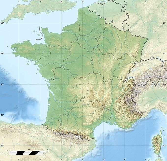 LFQD Location of airport in France | |||||||||||
| Runways | |||||||||||
| |||||||||||
Arras – Roclincourt Airport (French: Aéroport d'Arras - Roclincourt[2]) (ICAO: LFQD) is an airport located in Roclincourt, 4 km (2.2 NM) northeast of Arras, both communes of the Pas-de-Calais department in the Nord-Pas-de-Calais region of France.[1]
Facilities
The airport resides at an elevation of 337 feet (103 m) above mean sea level. It has one runway designated 05/23 with a grass surface measuring 1,025 by 60 metres (3,363 ft × 197 ft).[1][2]
References
- 1 2 3 LFQD – Arras Roclincourt. AIP from French Service d'information aéronautique, effective 10 November 2016.
- 1 2 3 "Aéroport d'Arras - Roclincourt (QRV / LFQD)" (in French). Union des Aéroports Français. Archived from the original on 28 March 2010. Retrieved 12 May 2010.
External links
- (French) CCI d'Arras
- Airport information for LFQD at Great Circle Mapper.
- Accident history for LFQD at Aviation Safety Network
This article is issued from Wikipedia - version of the 9/13/2016. The text is available under the Creative Commons Attribution/Share Alike but additional terms may apply for the media files.