Arnprior, Stirling
| Arnprior | |
| Scottish Gaelic: Earrann a' Phriair | |
 The A811 in Arnprior |
|
 Arnprior |
|
| Population | 200 |
|---|---|
| OS grid reference | NS610948 |
| Civil parish | Kippen |
| Council area | Stirling |
| Country | Scotland |
| Sovereign state | United Kingdom |
| Post town | Stirling |
| Postcode district | FK8 |
| Dialling code | 01786 |
| Police | Scottish |
| Fire | Scottish |
| Ambulance | Scottish |
| EU Parliament | Scotland |
| UK Parliament | Stirling |
| Scottish Parliament | Stirling |
Coordinates: 56°07′34″N 4°14′06″W / 56.126°N 04.235°W
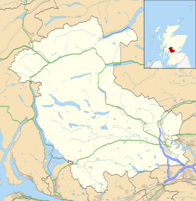
Arnprior is a hamlet in the Stirling council area of Scotland on the A811 about 12 miles west of Stirling and is one of the smallest community council areas in the area with a population of about 200.
The name is from the Gaelic 'earrann' meaning a division of land. The Prior of , who owned the land. Walter Comyn, the Earl of Menteith, founded Inchmahome Priory in 1238 and it is thought the name of the hamlet could date from then. There are other ‘Arns’ in the area, some of which indicate size (e.g. Arnmore) and others indicate previous owners (e.g. Arnfinlay).
The hamlet is next to the Flanders Moss National Nature Reserve and close to the east boundary of the Loch Lomond and Trossachs National Park, which includes the Lake of Menteith.
The town of Arnprior, Ontario, Canada was named after the hamlet, the ancestral home of its founder.
Until 1996, the hamlet had a primary school. Due to a lack of pupils, it was shut down along with Croftamie Primary School and Kinbuck Primary School. Part of the school has since been converted into a nursery. Pupils were transferred to Buchlyvie Primary School.[1]
References
- ↑ "Proposed Closure of Arnprior Primary School" (PDF). Retrieved 11 September 2014.
External links
| Wikimedia Commons has media related to Arnprior, Stirling. |