Arneytown, New Jersey
| Arneytown, New Jersey | |
|---|---|
| Unincorporated community | |
|
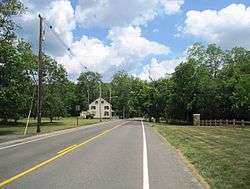
Approaching the center of Arneytown on eastbound CR 664 | |
 Arneytown 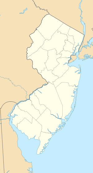 Arneytown  Arneytown Location of Arneytown in Burlington County Inset: Location of county within the state of New Jersey | |
| Coordinates: 40°06′05″N 74°33′58″W / 40.10139°N 74.56611°WCoordinates: 40°06′05″N 74°33′58″W / 40.10139°N 74.56611°W | |
| Country |
|
| State |
|
| Counties | Burlington and Monmouth |
| Townships | North Hanover and Upper Freehold |
| Elevation[1] | 164 ft (50 m) |
| Time zone | Eastern (EST) (UTC-5) |
| • Summer (DST) | Eastern (EDT) (UTC-4) |
| Area code(s) | 609 |
| GNIS feature ID | 874381[1] |
Arneytown is an unincorporated community located on the border of North Hanover Township in Burlington County and Upper Freehold Township in Monmouth County, in New Jersey, United States.[2][3] It is the location of the Brigadier General William C. Doyle Veterans Cemetery, on 225 acres (91 ha) of land.[4]
References
- 1 2 "Arneytown". Geographic Names Information System. United States Geological Survey.
- ↑ Locality Search, State of New Jersey. Accessed February 17, 2015.
- ↑ U.S. Geological Survey (1893). Bulletin of the United States Geological Survey, Volume 22. Retrieved July 15, 2011.
- ↑ "Brigadier General William C. Doyle Veterans Cemetery". Retrieved July 15, 2011.
This article is issued from Wikipedia - version of the 6/8/2016. The text is available under the Creative Commons Attribution/Share Alike but additional terms may apply for the media files.