Ardnurcher, County Offaly (civil parish)
| Ardnurcher Baile Átha an Urchair | |
|---|---|
| Civil parish | |
 Ardnurcher Location of Ardnurcher within County Offaly in the Republic of Ireland | |
| Coordinates: 53°22′54″N 7°35′57″W / 53.38167°N 7.59917°WCoordinates: 53°22′54″N 7°35′57″W / 53.38167°N 7.59917°W | |
| Country |
|
| Province | Leinster |
| County | County Offaly |
| Irish grid reference | N294388 |
Ardnurcher (Irish: Baile Átha an Urchair)[1] is a civil parish in County Offaly, Ireland. It is located about 13.74 kilometres (9 mi) north–north–west of Tullamore.
Ardnurcher is one of 4 civil parishes in the barony of Kilcoursey in the Province of Leinster. The civil parish covers 2,819.6 acres (11.411 km2). It is contiguous with the majority of the Ardnurcher civil parish, which is in County Westmeath.
Ardnurcher civil parish, County Offaly comprises 14 townlands: Ardnurcher Glebe, Attiblaney, Ballykilleen, Ballynakill Beg, Ballynakill Little, Burrow, Cappydonnell Big, Cappydonnell Little, Cloncraff, Dunard, Kilmalady Big, Kilmalady Little, Russagh and Tully.
The neighbouring civil parishes are: Ardnurcher, or Horseleap (County Westmeath) to the north and east, Kilbride to the south, Kilmanaghan to the south and west and Kilcumreragh to the west and north.[2][3]
References
- ↑ Ardnurcher civil parish, County Offaly The Placenames Database of Ireland. Retrieved on 18 July 2015.
- ↑ Ardnurcher civil parish, County Offaly townlands.ie Retrieved on 18 July 2015.
- ↑ Ardnurcher civil parish, County Offaly The IreAtlas Townland Data Base. Retrieved on 18 July 2015.
External links
- Ardnurcher civil parish at the IreAtlas Townland Data Base
- Ardnurcher civil parish at townlands.ie
- Ardnurcher civil parish at The Placenames Database of Ireland
Places in County Offaly | ||
|---|---|---|
| Towns | 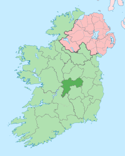 | |
| Villages and Townlands |
| |
| Landforms | ||
| Topics |
| |