Anivorano Nord
| Anivorano Nord | |
|---|---|
|
Anivorano-Nord | |
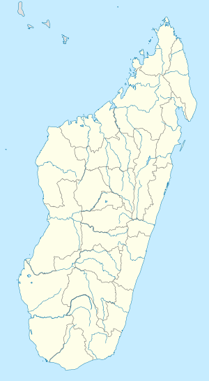 Anivorano Nord Location in Madagascar | |
| Coordinates: 12°44′S 49°14′E / 12.733°S 49.233°E | |
| Country |
|
| Region | Diana |
| District | Antsiranana II |
| Elevation[1] | 440 m (1,440 ft) |
| Population (2001)[2] | |
| • Total | 15,000 |
| Time zone | EAT (UTC3) |

Anivorano Nord or Anivorano Avaratra is a municipality (French: commune, Malagasy: kaominina) in Madagascar. It belongs to the district of Antsiranana II, which is a part of Diana Region. According to 2001 census the population of Anivorano Nord was 15,000.[2]
Primary and junior level secondary education are available in town. It is also a site of industrial-scale mining. The majority 99% of the population are farmers. The most important crop is rice, while other important products are peanut and maize. Services provide employment for 1% of the population.[2]
Geography
Anivorano Nord is situated at the Route nationale 6 at 69 km from Diego Suarez. Next towns are Ambilobe and Andrafiabe.[3]
References and notes
- ↑ Estimated based on DEM data from Shuttle Radar Topography Mission
- 1 2 3 "ILO census data". Cornell University. 2002. Retrieved 2008-02-13.
- ↑ Atlas Mondial, France Loisir, page 159
| Ambanja |
|  |
|---|---|---|
| Ambilobe | ||
| Antsiranana I | ||
| Antsiranana II | ||
| Nosy Be | ||
Coordinates: 12°44′S 49°14′E / 12.733°S 49.233°E