Angeja
| Angeja | |||
|---|---|---|---|
| Parish | |||
| |||
 Angeja | |||
| Coordinates: 40°40′48″N 8°33′25″W / 40.680°N 8.557°WCoordinates: 40°40′48″N 8°33′25″W / 40.680°N 8.557°W | |||
| Country | Portugal | ||
| Region | Centro | ||
| Subregion | Baixo Vouga | ||
| Intermunic. comm. | Região de Aveiro | ||
| District | Aveiro | ||
| Municipality | Albergaria-a-Velha | ||
| Area | |||
| • Total | 21.25 km2 (8.20 sq mi) | ||
| Elevation | 23 m (75 ft) | ||
| Population (2011) | |||
| • Total | 2,073 | ||
| • Density | 98/km2 (250/sq mi) | ||
| Postal code | 3850 | ||
| Area code | 234 | ||
| Patron | Nossa Senhora das Neves | ||
| Website | http://www.jf-angeja.pt/ | ||


Angeja is a civil parish in the municipality of Albergaria-a-Velha, Portugal. The population in 2011 was 2,073,[1] in an area of 21.25 km².[2]
History
Between 1514 and 1853 Angeja was an independent municipality, that included one parish and a population of 1740 inhabitants (1801). During the Liberal Constitution, the reorganization of the civil government and administration had resulted in annexation of several other parishes: Canelas, Fermelã and Frossos. In 1849 its population had surpassed 5124 inhabitants
By 1853 Angeja was the municipal seat, but this lasted until the end of the year, when the municipality became extinct and integrated into the much larger municipality of Albergaria-a-Velha.
Pressure from the local population and a petition motivated the Assembly of the Republic to elevate Angeja to the status of vila (comparable to a town) on 20 June 1991.
Geography
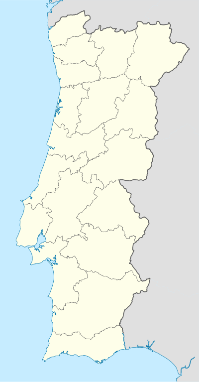
Located eight kilometres from the municipal seat, Angeja is also 10 kilometres from the district capital, Aveiro. It is bounded in the north by the parish of Fermelâ, the municipalities of Estarreja and Murtosa, to the west by the parish of Cacia in the municipality of Aveiro, the east by the parish of Albergaria-a-Velha, and to the south the parish of Frossos. The narrow administrative boundary crosses diagonally from northwest to southeast on the eastern border of Albergaria-a-Velha, following portions of the Vouga River (southwest) and Aveiro River (northwest). The communities of Angeja and Fontão occupy the southeast corner of the parish, with smaller settlement of Fontão nestled within a river valley closer to the parish border with Albergaria-a-Velha.
Economy
The parish follows the Vouga River valley, its residents concentrated along the margins and occupied with agriculture. The waters of the Vouga also allows the existence of an active fishing industry, especially after industrial effluentes were redirected, that includes species of threadfin, carp, eel, ray-fins and lampreys.