Samrong Thap District
| Samrong Thap สำโรงทาบ | |
|---|---|
| Amphoe | |
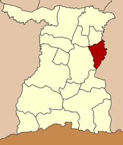 Amphoe location in Surin Province | |
| Coordinates: 15°1′21″N 103°56′10″E / 15.02250°N 103.93611°ECoordinates: 15°1′21″N 103°56′10″E / 15.02250°N 103.93611°E | |
| Country |
|
| Province | Surin |
| Area | |
| • Total | 375.2 km2 (144.9 sq mi) |
| Population (2005) | |
| • Total | 52,459 |
| • Density | 139.8/km2 (362/sq mi) |
| Time zone | THA (UTC+7) |
| Postal code | 32170 |
| Geocode | 3212 |
Samrong Thap (Thai: สำโรงทาบ) is a district (Amphoe) in the eastern part of Surin Province, northeastern Thailand.
History
The minor district (King Amphoe) Samrong Thap was established on September 1 1958. It was upgraded to a full district on December 11 1959.
Geography
Neighboring districts are (from the southwest clockwise) Sikhoraphum, Sanom and Non Narai of Surin Province, Mueang Chan, Huai Thap Than and Prang Ku of Sisaket Province.
Administration
The district is subdivided into 10 subdistricts (tambon), which are further subdivided into 100 villages (muban). Samrong Thap is a township (thesaban tambon) which covers parts of the tambon Samrong Thap and Nong Phai Lom. There are further 10 Tambon administrative organizations (TAO).
| No. | Name | Thai name | Villages | Inh. | |
|---|---|---|---|---|---|
| 1. | Samrong Thap | สำโรงทาบ | 12 | 6,900 | |
| 2. | Nong Phai Lom | หนองไผ่ล้อม | 13 | 9,538 | |
| 3. | Kra-om | กระออม | 9 | 4,780 | |
| 4. | Nong Ha | หนองฮะ | 11 | 4,939 | |
| 5. | Si Suk | ศรีสุข | 8 | 4,785 | |
| 6. | Ko Kaeo | เกาะแก้ว | 11 | 5,301 | |
| 7. | Muen Si | หมื่นศรี | 9 | 5,494 | |
| 8. | Samet | เสม็จ | 8 | 3,608 | |
| 9. | Sano | สะโน | 9 | 3,318 | |
| 10. | Pradu | ประดู่ | 10 | 3,796 |
This article is issued from Wikipedia - version of the 3/1/2013. The text is available under the Creative Commons Attribution/Share Alike but additional terms may apply for the media files.