Ampara
| Ampara අම්පාර அம்பாறை | |
|---|---|
| Town | |
|
Ampara Clock Tower | |
 Ampara | |
| Coordinates: 7°17′0″N 81°40′0″E / 7.28333°N 81.66667°E | |
| Country | Sri Lanka |
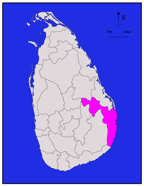
| Province | Eastern |
| District | Ampara |
| Government | |
| • Type | Urban Council |
| • Chairman | Indika Naleen Jayavikrama (UPFA) |
| Population (2012) | |
| • Total | 43,720[1] |
| Time zone | Sri Lanka Standard Time Zone (UTC+5:30) |

Ampara (Sinhalese: අම්පාර, Tamil: அம்பாறை) is the main town of Ampara District, governed by an Urban Council. It is located in the Eastern Province, Sri Lanka, about 360 km from the capital city of Colombo.
Most of the civilians in the town are Sinhala. In 2001, there were 20,152 people in the town limit and 96% of them were Sinhalese. Buddhism was the predominant religion, practiced by 93%.
History
This was a hunters' resting place during British colonial days (late 1890s and early 1900). During the development of the Galoya scheme from 1949 by the late Prime Minister D.S. Senanayake, Ampara was transformed into a town. Initially it was the residence for the construction workers of Inginiyagala Dam. Later it became the main administrative town of the Galoya Valley.
Maps
References
- ↑ "Statistical Information". Ampara District Secretriat. 18 February 2014. Retrieved 27 October 2015.
| ||