Amherst Village Historic District
|
Amherst Village Historic District | |
 | |
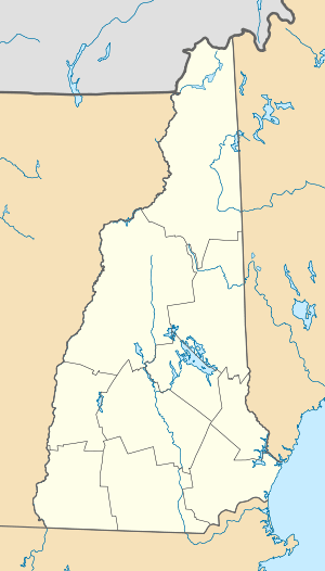  | |
| Location | NH 122, Amherst, New Hampshire |
|---|---|
| Coordinates | 42°51′46″N 71°37′37″W / 42.86278°N 71.62694°WCoordinates: 42°51′46″N 71°37′37″W / 42.86278°N 71.62694°W |
| Area | 160 acres (65 ha) |
| Architect | Multiple |
| Architectural style | Greek Revival, Federal, Cape |
| NRHP Reference # | 82001679[1] |
| Added to NRHP | August 18, 1982 |
The Amherst Village Historic District encompasses the historic village center of Amherst, New Hampshire. Centered on the town's common, which was established about 1755, Amherst Village is one of the best examples of a late-18th to early-19th century New England village center. It is roughly bounded on the north by Foundry Street and on the south by Amherst Street, although it extends along some roads beyond both. The western boundary is roughly Davis Lane, the eastern is Mack Hill Road, Old Manchester Road, and Court House Road. The district includes the Congregation Church, built c. 1771-74, and is predominantly residential, with a large number of Georgian, Federal, and Greek Revival houses. Other notable non-residential buildings include the Farmer's Bank, a Federal-style brick building built in 1806, and the Amherst Brick School, a brick Greek Revival structure that now serves as a community center.[2]
The district was listed on the National Register of Historic Places in 1982.[1]
See also
References
- 1 2 National Park Service (2009-03-13). "National Register Information System". National Register of Historic Places. National Park Service.
- ↑ "NRHP nomination for Amherst Village Historic District" (PDF). National Park Service. Retrieved 2014-05-12.
| Topics |  | |
|---|---|---|
| Lists by county | ||
| Other lists | ||
| ||