Alor Gajah District
| Alor Gajah District | |
|---|---|
| District of Malaysia | |
| Nickname(s): AG | |
 | |
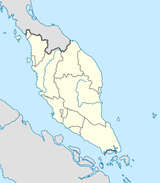 Alor Gajah District Location of Alor Gajah in Peninsular Malaysia | |
| Coordinates: 2°16′N 102°09′E / 2.267°N 102.150°ECoordinates: 2°16′N 102°09′E / 2.267°N 102.150°E | |
| Country |
|
| State |
|
| Seat | Alor Gajah Town |
| Government | |
| • Body | Alor Gajah District and Land Office |
| • District officer | Haji Hassim bin Ismail |
| Area | |
| • Total | 660 km2 (250 sq mi) |
| Population (2001) | |
| • Total | 141,850 |
| • Density | 210/km2 (560/sq mi) |
| Mailing Postcode | 78XXX |
| National calling code | 06-5xxxxxx |
| Vehicle registration | M |
The Alor Gajah District is a district in Malacca, Malaysia. Alor Gajah is also a parliamentary constituency of Malacca State. It borders Tampin District to the north. It also borders Jasin and Central Malacca.
Name
Alor Gajah used to be one of the forest areas believed to be the routes (Malay: alor) for wild elephants Malay: gajah).[1]
Geography
Alor Gajah is 699.3 km2, which is equivalent to 66,302 hectares.
Government

Alor Gajah District and Land Office is the local government in charge of this district.
Administrative divisions
It consists of 31 mukim (sub-districts):[2]
- Lendu
- Lubok China
- Masjid Tanah
- Ramuan Cina Kecil
- Sungai Baru Tengah
- Kuala Sungai Baru
- Sungai Baru Hilir
- Brisu
- Alor Gajah Town
- Tanjung Rimau
- Padang Sebang
- Belimbing
- Parit Melana
- Paya Rumput
- Tampin
- Pegoh
- Kelemak
- Taboh Naning
- Melekek
- Rambai
- Rembia
- Hutan Percha
- Pulau Sebang
- Tebong
- Kemuning
- Gadek
- Machap
- Melaka Pindah
- Durian Tunggal
- Sungai Petai
- Sungai Baru Ulu
- Beringin
- Air Pa'abas
- Sungai Siput
- Ramuan Cina Besar
- Sungai Buluh
- Kuala Linggi
- Kampung Paya Datuk
- Melekek
- Simpang Ampat
Infrastructure
Health
Alor Gajah boasts a new government hospital, Alor Gajah Hospital, which replaced the old one that was fast becoming insufficient to meet the needs of the growing population. Besides, other government healthcare facilities include:
- Clinics
- Dental Clinics
Education
Shopping
- Mydin Hypermarket Pulau Sebang (Opening in 2016)
- Freeport A'Famosa Outlet Village
- Family Store Masjid Tanah
Tourist attractions
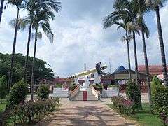
- A' Famosa Resort
- Alor Gajah British Graveyard
- Alor Gajah Square
- Datuk Wira Poh Ah Tiam Machap Recreational Park
- Dol Said's Grave
- Gadek Hot Spring
- Pengkalan Balak Beach
- Tradition and Custom Museum
Transportation

See also
| Wikimedia Commons has media related to Alor Gajah. |
References
Capital: Malacca City | |||||||||||||||||||||||||||
| Topics |
| ||||||||||||||||||||||||||
| Society |
| ||||||||||||||||||||||||||
| Administrative divisions |
| ||||||||||||||||||||||||||
| |||||||||||||||||||||||||||