Aljinovići
| Aljinovići | |
|---|---|
| Village | |
.jpg) | |
 Aljinovići | |
| Coordinates: RS 43°19′N 19°50′E / 43.317°N 19.833°E | |
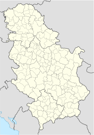
| Country |
|
| District | Zlatibor District |
| Municipality | Prijepolje |
| Area | |
| • Land | 17.24 km2 (6.66 sq mi) |
| Population (2002) | |
| • Total | 196 |
| Time zone | CET (UTC+1) |
| • Summer (DST) | CEST (UTC+2) |
Aljinovići (Serbian Cyrillic: Аљиновићи) is a village in the municipality of Prijepolje, Serbia. According to the 2002 census, the village has a population of 196 people.[1]
Geography
It is situated on a plateau (1150–1270m) between Rupaj (1300m), Zlatarsko Brdo (1350m), Veliki Bitovik (1391m) and Kupionica (1238m), some 35 kilometres southeast from Prijepolje. The village is classified as based on animal husbandry and crops (55.9% agrarian inhabitants). The atar (cadastral area) is 1,724 hectare (2001 source).[2]
The Nova Varoš—Aljinovići regional road towards Sjenica crosses the village.
History
The village name is derived from aljine (dresses); historically, the Orthodox priests in the region had their clothing made from local wool.
In 1889[3] or 1898[4] a Serbian school was founded in the village. In the beginning of March 1906, an uprising broke out in the Serbian villages from Sjenica to the villages of Javor (including Aljinovići and neighbouring villages).[5]
In 1939/40, there was 365 pupils and two teachers in the school.[3] In April 1941, at least 34 people from Aljinovići had been taken as prisoners of war and were interned at German camps.[6] In February 1942, there was fighting between the Yugoslav Partisans and the Chetniks in the village.[7]
Today, there are some 50 households in the village, and it is constantly declining.
Demographic history
- 2002 census: 196 people; 98% Serbs
- 1991 census: 304 people
Culture
There is an Orthodox church in the village.
Anthropology
Families include Vujičić, Savković, Milošević, Topalović, among others.
References
- ↑ Popis stanovništva, domaćinstava i Stanova 2002. Knjiga 1: Nacionalna ili etnička pripadnost po naseljima. Republika Srbija, Republički zavod za statistiku Beograd 2003. ISBN 86-84433-00-9
- ↑ Srboljub Đ Stamenković (2001). Географска енциклопедиjа насеља Србиjе: М-Р. Универзитет у Београду. Географски факултет. p. 356. ISBN 978-86-82657-15-6.
- 1 2 Momčilo Isić (2005). Osnovno školstvo u Srbiji, 1918-1941, book 2. INIS. p. 422.
- ↑ Radmila Petković-Popović; Vukoman S̆alipurović (1970). Srpske škole i prosveta u zapadnim krajevima Stare Srbije u xix veku. Opštinska zajednica obrazovanje.
- ↑ Vukoman S̆alipurović. Raonička buna: knj. 1906-1907.
- ↑ Simpozijum seoski dani Sretena Vukosavljevića. 15. Opštinska zajednica obrazovanja. 1993. p. 215.
У току априла 1941. године, сумирајући податке из утврђеног списка ратних војних заробљеника из пријепољског краја, може се констатовати: - укупно заробљених, па интернираних у логоре је 76 и то: из Аљиновића 34
- ↑ Vojnoistorijski institut. Zbornik dokumenata i podataka o narodnooslobodilačkom ratu naroda Jugoslavija. 1. Vojnoistorijski institut. p. 310.
External links
- "Selo Aljinovići". Emisija "Slike Života".
Coordinates: 43°19′N 19°50′E / 43.317°N 19.833°E
| Wikimedia Commons has media related to Aljinovići. |