Alexauken, New Jersey
| Alexauken, New Jersey | |
|---|---|
| Unincorporated community | |
|
Photo of Alexauken along Alexauken Creek Road | |
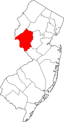
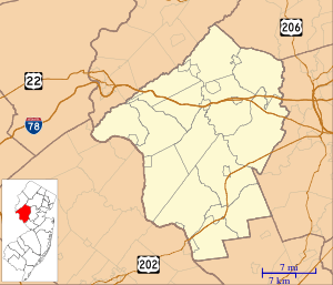 Alexauken, New Jersey  Alexauken, New Jersey  Alexauken, New Jersey Location of Alexauken in Hunterdon County Inset: Location of county within the state of New Jersey | |
| Coordinates: 40°23′22″N 74°56′21″W / 40.38944°N 74.93917°WCoordinates: 40°23′22″N 74°56′21″W / 40.38944°N 74.93917°W | |
| Country |
|
| State |
|
| County | Hunterdon |
| Township | West Amwell |
| Elevation[1] | 135 ft (41 m) |
| GNIS feature ID | 874284[1] |

Alexauken is an unincorporated community located within West Amwell Township in Hunterdon County, New Jersey, United States.[2] The community is located along Alexauken Creek Road between an interchange with U.S. Route 202 and Queen Road and is mostly made up of residential homes.
It was noted in 1892 that a station of the Pennsylvania Railroad was located in Alexauken.[3]
References
- 1 2 "Alexauken". Geographic Names Information System. United States Geological Survey.
- ↑ Google (January 30, 2015). "Alexauken, New Jersey" (Map). Google Maps. Google. Retrieved January 30, 2015.
- ↑ The Official Railway Guide: North American Freight Service Edition. National Railway Publication Company. 1892. p. 713.
This article is issued from Wikipedia - version of the 6/8/2016. The text is available under the Creative Commons Attribution/Share Alike but additional terms may apply for the media files.