Alberta Highway 28
| ||||
|---|---|---|---|---|
 | ||||
| Route information | ||||
| Maintained by Alberta Transportation | ||||
| Length: | 293 km (182 mi) | |||
| Major junctions | ||||
| West end: |
| |||
|
| ||||
| East end: | Lakeshore Drive in Cold Lake | |||
| Location | ||||
| Specialized and rural municipalities: | Sturgeon County, Thorhild County, Smoky Lake County, St. Paul No. 19 County, Bonnyville No. 87 M.D. | |||
| Major cities: | Edmonton, Cold Lake | |||
| Towns: | Bon Accord, Gibbons, Redwater, Smoky Lake, Bonnyville | |||
| Villages: | Waskatenau, Vilna | |||
| Highway system | ||||
|
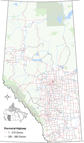
Provincial highways in Alberta
| ||||

Alberta Provincial Highway No. 28[1] is a highway in north-central Alberta, Canada. It runs mostly east–west between the cities of Edmonton and Cold Lake, via Smoky Lake and Bonnyville.
The highway is designated as part of Canada's National Highway System, holding "core route" status between Highway 28A in Gibbons and the intersection with Highway 63, and "feeder route" status for the remainder of its route to Cold Lake.[2]
Major intersections
Starting from the west end of Highway 28:[3]
Highway 28A
| ||||
|---|---|---|---|---|
| 17 Street NE | ||||
 | ||||
| Route information | ||||
| Length: | 17.7 km (11.0 mi) | |||
| Major junctions | ||||
| South end: |
| |||
|
| ||||
| North end: |
| |||
| Location | ||||
| Specialized and rural municipalities: | Sturgeon County | |||
| Major cities: | Edmonton | |||
| Towns: | Gibbons | |||
| Highway system | ||||
|
Provincial highways in Alberta
| ||||

Alberta Provincial Highway No. 28A[1] is the designation of an alternate route off Highway 28 between Edmonton and the Town of Gibbons. It runs south-north, parallel to Highway 28, from Highway 15 (Manning Drive) in Edmonton to Highway 28 north of Gibbons, and is numbered 17 Street NE within Edmonton. The highway is designated as a "core route" of Canada's National Highway System for its entire length as it is part of the Edmonton-Fort McMurray corridor.[2]
Another 46 km (29 mi) section formerly existed between Ashmont and Hoselaw as a bypass of St. Paul and as a shorter route to Cold Lake. This section was redesignated Highway 28 in 2006, when Highway 28 through St. Paul was redesignated Highway 29.
Major intersections
Starting from the south end of Highway 28A:[4]
| Rural/specialized municipality | Location | km | mi | Destinations | Notes |
|---|---|---|---|---|---|
| City of Edmonton | 0.0 | 0.0 | Starts as 17 Street NE 53°41′8″N 113°19′6″W / 53.68556°N 113.31833°W | ||
| Sturgeon County | | 3.4 | 2.1 | Traffic signals 53°42′57″N 113°19′15″W / 53.71583°N 113.32083°W | |
| Gibbons | 16.4 | 10.2 | 53°49′57″N 113°19′20″W / 53.83250°N 113.32222°W | ||
| 17.7 | 11.0 | Trumpet interchange Hwy 28A ends 53°50′44″N 113°19′18″W / 53.84556°N 113.32167°W | |||
| 1.000 mi = 1.609 km; 1.000 km = 0.621 mi | |||||
References
- 1 2 Provincial Highways Designation Order, Alberta Transportation, p. 6
- 1 2 3 4 "Canada's National Highway System - Annual Report 2015" (PDF). Council of Ministers Responsible for Transportation and Highway Safety. September 2016. p. 29. Retrieved November 15, 2016.
- ↑ "Highway 28" (Map). Google Maps. Google. Retrieved November 15, 2016.
- ↑ "Highway 28A" (Map). Google Maps. Google. Retrieved November 15, 2016.
External links
- 2010 Provincial Highways 1 - 216 Series Progress Chart (map, 8 MB) by Alberta Transportation.