Al Qabil
| Al Qabil | |
|---|---|
| Village | |
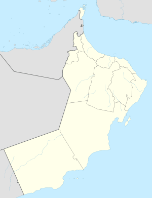 Al Qabil Location in Oman | |
| Coordinates: 23°56′51″N 55°49′11″E / 23.94750°N 55.81972°ECoordinates: 23°56′51″N 55°49′11″E / 23.94750°N 55.81972°E | |
| Country |
|
| Region | Al Buraimi Governorate |
| Time zone | Oman Standard Time (UTC+4) |
Al Qabil is a village in Al Buraimi Governorate (formerly Ad Dhahirah Region), in northeastern Oman. A small agricultural village on the edge of the Wahibah Desert, Al Qabil lies about 25 kilometres south along the Muscat-Sur Highway (Highway 21) from Al Ain across the border in the United Arab Emirates. The village lies south of Mazyad and Al Zahir and west of Hisn Mazyad and lies 10 kilometres northwest of Al-Mintirib.[1] Described as a "prosperous market village", Al Qabil lies at a curve in the road before "descending into the Sa'dah basin from the west".[2] The village is said to contain populations of the Al Bu-Shamis group of the Na'Im who moved into the village from across the Emirates border. [3]Wadi Sarin is said to flow nearby.[4]
The village contains Al Qabil Rest House, a quaint licensed country hotel.[1][5] The village of Gharbi Hafit lies to the immediate north and the hamlet of Sharqi Hafit to the immediate east.[6]
References
- 1 2 Walker, Jenny; Butler, Stuart (CON) (1 October 2010). Oman, UAE & Arabian Peninsula. Lonely Planet. p. 216. ISBN 978-1-74179-145-7. Retrieved 11 May 2011.
- ↑ Lichtenthäler, Gerhard (June 2003). Political ecology and the role of water: environment, society and economy in northern Yemen. Ashgate Publishing, Ltd. p. 76. ISBN 978-0-7546-0908-7. Retrieved 11 May 2011.
- ↑ Allāh, Muḥammad Mursī ʻAbd (1978). The United Arab Emirates: a modern history. Croom Helm. p. 302. ISBN 978-0-85664-314-9. Retrieved 11 May 2011.
- ↑ Costa, Paolo; Baldissera, Eros (2001). Historic mosques and shrines of Oman. Archaeopress. ISBN 978-1-84171-230-7. Retrieved 11 May 2011.
- ↑ Al Qabil "Al Qabil" Check
|url=value (help). Desert Discovery. Retrieved 11 May 2011. - ↑ National Geospatial-Intelligence Agency. GeoNames database entry. (search) Accessed 12 May 2011.