al-Haluwaniyah
| al-Haluwaniyah الحلوانية | |
|---|---|
| Village | |
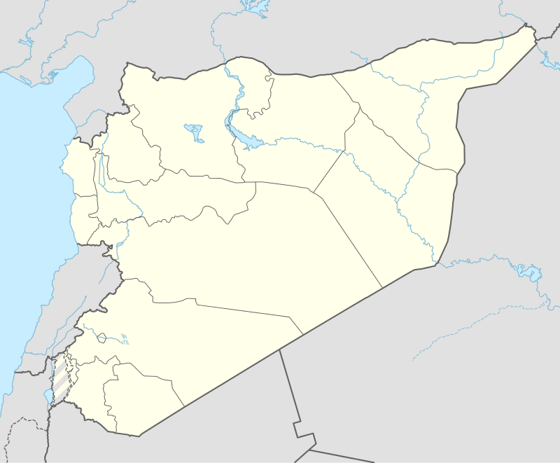 al-Haluwaniyah Location of al-Haluwaniyah in Syria | |
| Coordinates: 36°47′25″N 37°54′54″E / 36.7903°N 37.915°ECoordinates: 36°47′25″N 37°54′54″E / 36.7903°N 37.915°E | |
| Country |
|
| Governorate | Aleppo |
| District | Jarabulus |
| Subdistrict | Jarabulus |
| Elevation | 440 m (1,440 ft) |
| Population (2004)[1] | 763 |
| Time zone | EET (UTC+2) |
| • Summer (DST) | EEST (UTC+3) |
| Geocode | C2214 |
al-Haluwaniyah (Arabic: الحلوانية, translit. al-Ḥalwāniyah) is a village in northern Aleppo Governorate, northern Syria. Situated on the northern Manbij Plain, the village is located about 9 kilometres (5.6 mi) southwest of Jarabulus and less than 1 km (0.62 mi) south of the border to the Turkish province of Gaziantep.
With 763 inhabitants, as per the 2004 census, al-Haluwaniyah administratively belongs to Nahiya Jarabulus within Jarabulus District.[1] Nearby localities include al-Hajalieh 4 km (2.5 mi) to the northeast, Haymar 3 km (1.9 mi) to the southeast, and al-Bir Tahtani 2.5 km (1.6 mi) to the southwest.
References
- 1 2 "2004 Census Data for Nahiya Jarabulus" (in Arabic). Syrian Central Bureau of Statistics. Retrieved 15 October 2015. Also available in English: UN OCHA. "2004 Census Data". Humanitarian Data Exchange. Retrieved 4 December 2015.
Capital: Aleppo | ||||||||
|  | |||||||
|
| ||||||||
| ||||||||
| ||||||||
| ||||||||
| ||||||||
This article is issued from Wikipedia - version of the 9/17/2016. The text is available under the Creative Commons Attribution/Share Alike but additional terms may apply for the media files.