Aiguille de Rochefort
| Aiguille de Rochefort | |
|---|---|
 The Aiguille de Rochefort | |
| Highest point | |
| Elevation | 4,001 m (13,127 ft) |
| Prominence | 106 metres (348 ft) |
| Isolation | 0.6 kilometres (0.37 mi) |
| Coordinates | 45°51′43″N 6°57′36″E / 45.86194°N 6.96000°ECoordinates: 45°51′43″N 6°57′36″E / 45.86194°N 6.96000°E |
| Geography | |
| Parent range | Mont Blanc massif |
| Geology | |
| Mountain type | Granite |
| Climbing | |
| First ascent | 14 August 1873 by James Eccles with guides Alphonse and Michel Payot |
| Easiest route | Traverse of the Rochefort arête from the Torino Hut |

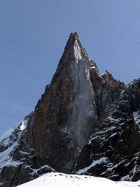
The Aiguille de Rochefort (4,001 m) is a mountain in the Mont Blanc massif in France and Italy. The peak lies on the Rochefort arête between the Dent du Géant and the Grandes Jorasses and is usually climbed during a traverse of the ridge.[1]
The first ascent of the peak was by James Eccles and guides Alphonse and Michel Payot on 14 August 1873.[1]
References
External links
This article is issued from Wikipedia - version of the 12/4/2015. The text is available under the Creative Commons Attribution/Share Alike but additional terms may apply for the media files.