Agios Ermolaos
| Agios Ermolaos | |
|---|---|
| Aγιος Ερμόλαος (Greek) Şirinevler (Turkish) | |
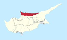
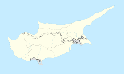 Agios Ermolaos Location in Cyprus | |
| Coordinates: 35°16′39″N 33°10′19″E / 35.27750°N 33.17194°ECoordinates: 35°16′39″N 33°10′19″E / 35.27750°N 33.17194°E | |
| Country |
|
| • District | Kyrenia District |
| Country (controlled by) |
|
| • District | Girne District |
| Population (2011)[1] | |
| • Total | 427 |
| Time zone | EET (UTC+2) |
| • Summer (DST) | EEST (UTC+3) |
Agios Ermolaos (Greek: Aγιος Ερμόλαος, Turkish: Şirinevler) is a village in Cyprus, 5 km east of Kontemenos. It is under the de facto control of Northern Cyprus.
All of the Agios Ermolaos Greek Cypriots fled before the Turkish army and were displaced as a consequence of the Turkish Invasion of Cyprus in 1974.[2] Formerly enclaved, displaced Turkish Cypriots from the south of the island and Turks from mainland Turkey subsequently moved to this village and it was named Şirinevler in Turkish in 1975.
References
- ↑ KKTC 2011 Nüfus ve Konut Sayımı [TRNC 2011 Population and Housing Census] (PDF), TRNC State Planning Organization, 6 August 2013
- ↑ Agios Ermolaos PRIO Cyprus Centre
This article is issued from Wikipedia - version of the 5/6/2016. The text is available under the Creative Commons Attribution/Share Alike but additional terms may apply for the media files.