Adswood
| Adswood | |
 St Ambrose's Roman Catholic Church |
|
 Adswood |
|
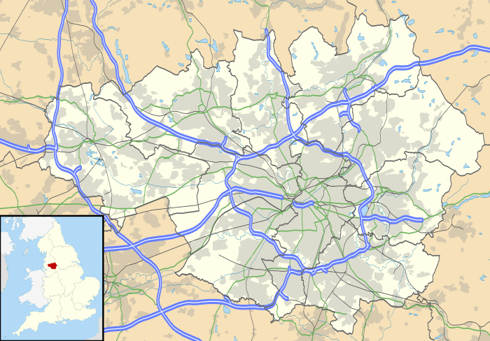
| OS grid reference | SJ883882 |
|---|---|
| Metropolitan borough | Stockport |
| Metropolitan county | Greater Manchester |
| Region | North West |
| Country | England |
| Sovereign state | United Kingdom |
| Post town | STOCKPORT |
| Postcode district | SK3 |
| Dialling code | 0161 |
| Police | Greater Manchester |
| Fire | Greater Manchester |
| Ambulance | North West |
| EU Parliament | North West England |
| UK Parliament | Stockport |
|
|
Coordinates: 53°23′28″N 2°10′30″W / 53.391°N 2.175°W
Adswood is a suburb of Stockport in England in the Metropolitan Borough of Stockport, Greater Manchester.[1][2] The name Adswood is said to be derived from 'Adders wood'. It is believed that during the reign of King Charles the area had been royal hunting grounds and due to the then large population of snakes gave rise to this name which over time was shortened to 'Adswood'.
Adswood has its own coat of arms, a snake wrapped around a tree, which is the emblem of the local Adswood Primary School.
The council housing estate in Adswood began in the 1920s with the building of Culver Road, situated at the back of the estate towards neighbouring Cale Green. The rest of the housing was built in the 1930s and 1940s. Earlier than this housing a farm and its buildings were on the land.
Adswood has a civic amenity site.
References
- ↑ Ordnance Survey: Landranger map sheet 109 Manchester (Bolton & Warrington) (Map). Ordnance Survey. 2014. ISBN 9780319231555.
- ↑ "Ordnance Survey: 1:50,000 Scale Gazetteer" (csv (download)). www.ordnancesurvey.co.uk. Ordnance Survey. 1 January 2016. Retrieved 30 January 2016.
External links
| Wikimedia Commons has media related to Adswood. |