Aamjiwnaang First Nation
| Sarnia 45 | |
|---|---|
| Indian reserve | |
| Sarnia Indian Reserve No. 45 | |
 Sarnia 45 | |
| Coordinates: 42°55.5′N 82°24′W / 42.9250°N 82.400°WCoordinates: 42°55.5′N 82°24′W / 42.9250°N 82.400°W | |
| Country |
|
| Province |
|
| County | Lambton |
| First Nation | Aamjiwnaang |
| Government | |
| • Chief | Christopher Plain |
| • Federal riding | Sarnia—Lambton |
| • Prov. riding | Sarnia—Lambton |
| Area[1] | |
| • Land | 12.57 km2 (4.85 sq mi) |
| Population (2006)[1] | |
| • Total | 640 |
| • Density | 50.9/km2 (132/sq mi) |
| Time zone | EST (UTC-5) |
| • Summer (DST) | EDT (UTC-4) |
| Postal Code | N7T |
| Area code(s) | 519 and 226 |
| Website | www.aamjiwnaang.ca |
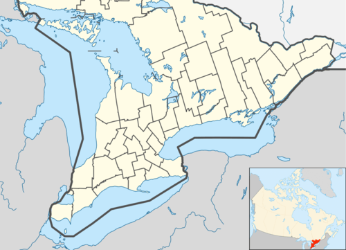
The Aamjiwnaang First Nation (or also known as Chippewas of Sarnia First Nation) is an Ojibwe First Nation band government in southwestern Ontario, Canada. They reside on the Sarnia 45 Indian Reserve, located on the shores of the St. Clair River directly south of Sarnia across from the United States border from Port Huron, Michigan.[2]
The name Aamjiwnaang, or more fully vocalised as Aamijiwanaang, means "at the spawning stream."
The Aamjiwnaang community has expressed concern regarding its proximity to chemical plants in the area, as birth rates of their people have been documented by the American journal Environmental Health Perspectives as deviating from the normal ratio of close to 50% boys, 50% girls.[3] The ratio as found between 1999 and 2003 by the journal was roughly 33% boys, and 67% girls.[4] The First Nation is concerned that this abnormal trend is due to adverse effects of maternal and fetal exposure to the effluent and emissions of the nearby chemical plants. This is the first community in the world to have a birth rate of two girls to every boy.
Demographics
| Canada census – Sarnia 45 community profile | |||
|---|---|---|---|
| 2006 | 2001 | ||
| Population: | 706 (1.6% from 2001) | 695 (11.9% from 1996) | |
| Land area: | 12.57 km2 (4.85 sq mi) | 12.57 km2 (4.85 sq mi) | |
| Population density: | 56.2/km2 (146/sq mi) | 55.3/km2 (143/sq mi) | |
| Median age: | 29.3 (M: 27.8, F: 30.2) | ||
| Total private dwellings: | 253 | 273 | |
| Median household income: | $21,056 | ||
| References: 2006[5] 2001[6] | |||
Population trend:[7]
- Population in 2006: 706
- Population in 2001: 695
- Population in 1996: 621
- Population in 1991: 494
Prominent members
- Fred Plain - former president of the Union of Ontario Indians
See also
- Chippewas of Sarnia Band v. Canada (Attorney General)
- Environmental justice
- Environmental racism
- Environmental racism in Europe
- Cancer Alley
- Uranium mining and the Navajo people
References
- 1 2 "Sarnia 45 community profile". 2011 Census data. Statistics Canada. Retrieved 20 June 2015.
- ↑ M. Crenson (2005). "Natives see son shortage in 'Chemical Valley'". Deseret News. Deseret News Publishing Company. Retrieved 2008-10-21.
- ↑ C. A. Mackenzie; A. Lockridge & M. Keith (2005). "Declining Sex Ratio in a First Nation Community". Environmental Health Perspectives. 113 (10): 1295–8. doi:10.1289/ehp.8479. PMC 1281269
 . PMID 16203237.
 - ↑ "Aamjiwnaang First Nations concerned about chemical exposure". CBC News. 2005-09-02. Retrieved 2008-10-21.
- ↑ "2006 Community Profiles". Canada 2006 Census. Statistics Canada. March 30, 2011. Retrieved 2011-02-24.
- ↑ "2001 Community Profiles". Canada 2001 Census. Statistics Canada. February 17, 2012. Retrieved 2011-02-24.
- ↑ Statistics Canada: 1996, 2001, 2006 census
External links
- Aamjiwnaang First Nation - Home
- 2001 Community Profiles for Sarnia 45 from Statistics Canada
- Aboriginal Affairs and Northern Development Canada profile
 |
St. Clair River |
Sarnia | | |
| |
|
Sarnia | ||
| ||||
| | ||||
| St. Clair |