2016 Northeast India earthquake
 | |
| Date | 4 January 2016 |
|---|---|
| Origin time | 4:35 a.m |
| Magnitude | 6.7 Mw |
| Depth | 55.0 km (34.2 mi) |
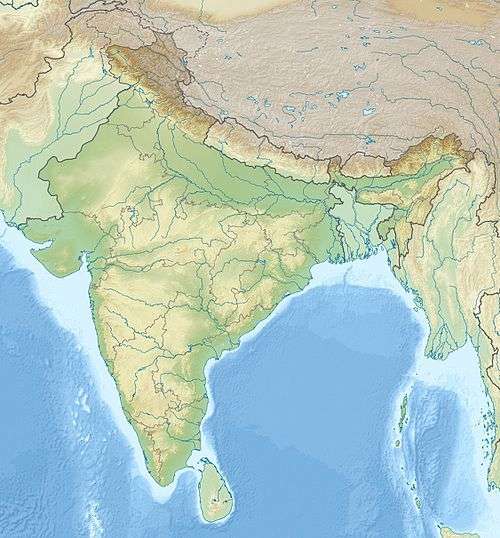
| Epicenter | 24°50′02″N 93°39′22″E / 24.834°N 93.656°ECoordinates: 24°50′02″N 93°39′22″E / 24.834°N 93.656°E |
| Areas affected |
Bangladesh India Myanmar Nepal |
| Casualties |
11 dead[1] ~200 injured |
A magnitude 6.7 earthquake struck India 29 km (18 mi) west of Imphal in the state of Manipur on January 4 with a maximum Mercalli intensity of VII (Very strong).[2] At least eleven people were killed, 200 others were injured and numerous buildings were damaged.[1] The quake was also strongly felt in Bangladesh.[3] The earthquake, which hit at 4:35 a.m. on 4 January local time (23:05 UTC, 3 January), was centered in an isolated area. Imphal has a population of more than 250,000.[4]
| Country | Deaths | Injuries | Ref. |
|---|---|---|---|
| |
6 | 200 | [1] |
| |
5 | ||
| Total | 11 | 200 |
See also
References
- 1 2 3 "Quake strikes northeast India, Bangladesh; 11 dead, nearly 200 hurt". Associated Press. Retrieved January 4, 2016.
- ↑ "M6.7 - 29km W of Imphal, India". United States Geological Survey. Retrieved January 3, 2015.
- ↑ Cardoz, Praveen (January 12, 2016). “Improper Before, Inadequate After”, The Global Feed.
- ↑ Ahmed, Ashraf. "Bangladesh Earthquake Warning". ATN24Online. Atn24online. Retrieved 12 July 2016.
External links
- Recent Earthquakes Near Manipur, India on Earthquake Track Website
This article is issued from Wikipedia - version of the 11/26/2016. The text is available under the Creative Commons Attribution/Share Alike but additional terms may apply for the media files.