1997 Fiji-Tonga earthquake
 | |
| Date | 14 October 1997 |
|---|---|
| Magnitude | Mw 7.8 |
| Depth | 167 km (104 mi) |
| Epicenter | 22°06′04″S 176°46′19″W / 22.101°S 176.772°W |
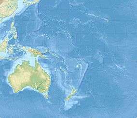
The 1997 Fiji-Tonga earthquake occurred south of the Fiji Islands (about 190 km WSW of Nuku'alofa, Tonga, and 255 km SE of Ndoi Island) on 14 October at 09:53 UTC. This earthquake was located in the central part of the Fiji-Tonga subduction zone and it had a magnitude of Mw 7.8. The rupture area was about ~50 km × 25 km, and the average slip was estimated to be 6 m (20 ft).[1] This earthquake could be felt in Wellington, New Zealand.[2][3]
Tectonic setting
The Pacific Plate is subducting beneath the Australian Plate in the Fiji-Tonga subduction zone. The Tonga Trench is linear, fast converging, and seismically active.[4] Mantle seismicity is active in this area.[5] There is a belt of deep earthquakes in the west of the Tonga Trench.[6] There are more earthquakes with focus depth h ≥ 300 km occurring in the Tonga-Kermadec region than in all other regions combined.[7]
Earthquake
With a depth of 167 km (104 mi), this was an intermediate depth earthquake. Thermo-petrologic models suggest that water may have an important role in the generating process for earthquakes of intermediate depths, as hydrous minerals may exist where intermediate depth seismicity is abundant.[8]
References
- ↑ http://epsc.wustl.edu/~tibi/papers/2001JB000361.pdf
- ↑ http://earthquake.usgs.gov/earthquakes/eqarchives/significant/sig_1997.php
- ↑ http://neic.usgs.gov/neis/eq_depot/1997/eq_971014/
- ↑ http://www.earth.ox.ac.uk/~tony/watts/Tonga_Louisville.html
- ↑ Earth's Catastrophic Past and Future: A Scientific Analysis of Information Channeled by Edgar Cayce by Hutton, W. and Eagle, J. (p. 59)
- ↑ Plate tectonics: how it works by Cox A., Hart, R. B. (p. 29)
- ↑ Deep Earthquakes by Frohlich, C. (p. 384)
- ↑ https://netfiles.uiuc.edu/wpchen/shared/Reprints_Wang-Ping_CHEN/60_BrudzinskiChenFlatSlabJGR_BW05.pdf