1930 Irpinia earthquake
 | |
 | |
| Date | 23 July 1930 |
|---|---|
| Magnitude | 6.6 Ms [1] |
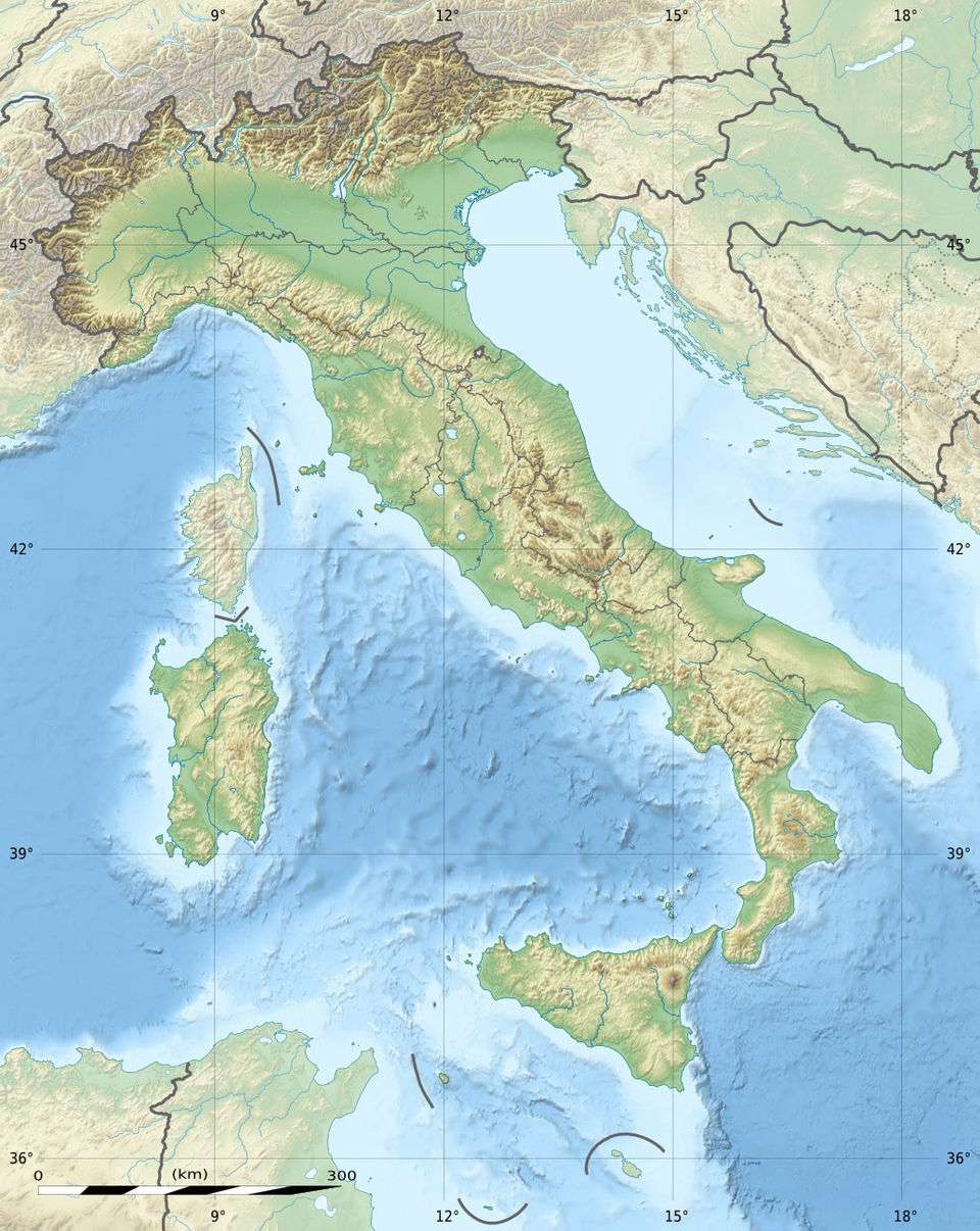
| Epicenter | 41°03′00″N 15°22′01″E / 41.05°N 15.367°ECoordinates: 41°03′00″N 15°22′01″E / 41.05°N 15.367°E |
| Areas affected | Italy, Basilicata and Apulia |
| Max. intensity | X (Very destructive) |
| Casualties |
1,404 dead [2] 4,624–7,000 injured [2] 100,000 displaced [2] |
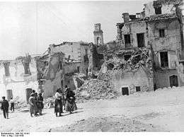
The 1930 Irpinia earthquake occurred at 00:08 UTC on 23 July, chiefly in an area known as Irpinia. It had a surface wave magnitude of 6.6 and a maximum intensity of X (Very destructive). The event caused 1,404 deaths and 4,624–7,000 injuries. The epicenter was near the boundaries between the regions of Basilicata, Apulia, and Campania.
Tectonic setting
The central and southern part of the Apennines has been characterised by extensional tectonics since the Pliocene epoch (i.e. about the last 5 million years), with most of the active faults being normal in type and NW-SE trending.[3] The extension is due to the back-arc basin in the Tyrrhenian Sea opening faster than the African Plate is colliding with the Eurasian Plate.[4] To the northeast of the Apennine chain, the foreland is in contrast affected by W-E trending strike-slip to oblique-slip faults.
Damage
The area affected covered about 6,300 km2, lying between the Garigliano River, the Crathis valley, and the Biferno and Murgia areas, including parts of high Irpinia, the Vulture area, the Sannio Hills, Salerno, Naples, the province of Matera and the highest parts of Apulia. In the worst damaged areas, about seven out of ten houses were almost completely destroyed, an outcome made worse by the poor strength of many buildings.[2] The death toll was reported as 1,404, with some three quarters of the victims being in the province of Avellino. The death toll was low, considering the level of physical damage, a fact partly explained by the number of villagers who were away from their houses, many sleeping in the fields while working on the wheat harvest.[2]
Characteristics
The main shock was preceded by two foreshocks a few hours earlier and followed by 16 aftershocks within the first 24 hours.[2] The greatest intensity of X (Very destructive)) on the European Macroseismic Scale was recorded at Aquilonia Vecchia, Lacedonia and Villanova del Battista. Intensities of IX (Destructive) were recorded at Anzano degli Irpini, Scampitella, Castel Baronia, Melfi, Montecalvo Sant'Antonio and Trevico. The area of maximum intensity is elongated in a roughly W-E direction. Analysis of historical seismograph recordings suggest that the earthquake originated from a north-dipping fault plane striking N100°E.[1]
See also
References
- 1 2 Pino, N.A.; Palombo B.; Ventura G.; Perniola B. & Ferrari G. (2008). "Waveform modeling of historical seismograms of the 1930 Irpinia earthquake provides insight on "blind" faulting in Southern Apennines (Italy)". Journal of Geophysical Research. 113 (B05303). Bibcode:2008JGRB..11305303P. doi:10.1029/2007JB005211. Retrieved 6 July 2010.
- 1 2 3 4 5 6 Guidoboni, E.; Ferrari G.; Mariotti D.; Comastri A.; Tarabusi G. & Valensise G. "Catalogue of Strong Earthquakes in Italy 461 B.C.c1997 and Mediterranean area 760 B.C.–1500" (in Italian). Retrieved 6 July 2010.
- ↑ Akinci, A.; Galadini, F.; Pantosti, D.; Petersen, M.; Malagnini, L.; Perkins, D. (2009), "Effect of Time Dependence on Probabilistic Seismic-Hazard Maps and Deaggregation for the Central Apennines, Italy", Bulletin of the Seismological Society of America, Seismological Society of America, 99 (2A): 585–610, Bibcode:2009BuSSA..99..585A, doi:10.1785/0120080053
- ↑ "Magnitude 6.3 - CENTRAL ITALY 6 April 2009 01:32:42 UTC". USGS. 6 April 2009. Archived from the original on 9 April 2009. Retrieved 6 April 2009.