1881 Nicobar Islands earthquake
 | |
| Date | 31 December 1881 |
|---|---|
| Magnitude | 7.9 Mw |
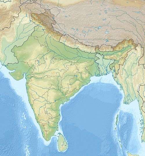
| Epicenter | 9°15′N 92°42′E / 9.25°N 92.70°ECoordinates: 9°15′N 92°42′E / 9.25°N 92.70°E[1] |
| Areas affected | India, Andaman and Nicobar Islands |
| Tsunami | yes |
| Casualties | none reported |
The 1881 Nicobar Islands earthquake occurred at about 07:49 local time (01:49 UTC) on 31 December, with an epicentre beneath Car Nicobar. It occurred as two separate ruptures, the largest of which had an estimated magnitude of 7.9 on the moment magnitude scale and triggered a tsunami that was observed around the Bay of Bengal. It is probably the earliest earthquake for which rupture parameters have been estimated instrumentally.[2]
Tectonic setting
The Nicobar Islands are a series of volcanic islands that are part of an active volcanic arc, formed above the subduction zone where the Indo-Australian Plate passes beneath the Burma Plate. The convergence along this plate boundary is highly oblique, with the plate vector running at a low angle to the boundary. Most of the strike-slip component of the convergence is accommodated by the Great Sumatran fault, which passes northwards into the Andaman Sea spreading centre.[2] This plate boundary has been the location of many historical megathrust earthquakes. The 1881 rupture area lies almost entirely within that for the Mw = 9.2 2004 Indian Ocean earthquake, while rupturing less than a third of its down-dip width.[1]
Damage
The Andaman and Nicobar Islands suffered some damage, although the only masonry buildings affected were in Port Blair, including an infantry barrack and a chimney, both of which suffered severe cracking. On Car Nicobar the coconut plantations and native huts were extensively damaged and sand volcanoes were observed.[2] There were no reported casualties associated with either the earthquake or the subsequent tsunami.[3]
Characteristics
Earthquake
The earthquake was very widely felt with reports from many parts of mainland India, Burma and Sumatra, a total area of 2,000,000 square miles (5,200,000 km2).[2] The rupture area, and therefore the magnitude, has been calculated by modelling the observed tsunami arrival times and heights. Two rupture areas have been identified.[1] The larger, and more southerly, measured 150 km x 60 km dipping about 20° to the east with a displacement of 2.7 metres (8.9 ft) and a smaller area to the north dipping 15° to the east with a displacement of 0.9 m (3.0 ft). The larger gives an estimated Mw = 7.9 event and the smaller a Mw = 7.0 event.[1]
Tsunami
The tsunami was recorded by eleven of a series of continuous tide gauges around the Bay of Bengal that had recently been deployed by the Great Trigonometric Survey of India.[2] The ten gauges on the Indian mainland were synchronised using a telegraph to Madras (Chennai) time, while that at Port Blair was set by a chronometer linked to local time. The maximum recorded wave height was 1.22 m (4.0 ft) at Nagapattinam.[2]
See also
References
- 1 2 3 4 Bilham, R.; Engdahl R., Feldl N. & Satyabala S.P. (2005). "Partial and Complete Rupture of the Indo-Andaman Plate Boundary 1847-2004" (PDF). Seismological Research Letters. 76 (3): 299–311. doi:10.1785/gssrl.76.3.299. Retrieved 20 November 2010.
- 1 2 3 4 5 6 Ortiz, M.; Bilham R. (2003). "Source area and rupture parameters of the 31 December 1881 Mw = 7.9 Car Nicobar earthquake estimated from tsunamis recorded in the Bay of Bengal" (PDF). Journal of Geophysical Research. American Geophysical Union. 108 (B4, 2215). doi:10.1029/2002JB001941.
- ↑ NGDC. "Comments for the Significant Earthquake". Retrieved 2 November 2010.