1694 Irpinia–Basilicata earthquake
 | |
| Date | 8 September 1694 |
|---|---|
| Magnitude | 6.9 Mw |
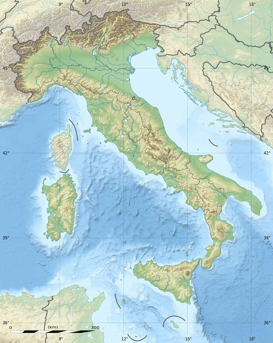
| Epicenter | 40°54′N 15°26′E / 40.90°N 15.43°ECoordinates: 40°54′N 15°26′E / 40.90°N 15.43°E |
| Areas affected | Kingdom of Naples |
| Casualties | 6,000+ |
The 1694 Irpinia–Basilicata earthquake occurred on 8 September. It caused widespread damage in the Basilicata and Apulia regions of what was then the Kingdom of Naples, resulting in more than 6,000 casualties. The earthquake occurred at 11:40 UTC and lasted between 30 and 60 seconds.[1]
Tectonic setting
The central and southern part of the Apennines has been characterised by extensional tectonics since the Pliocene epoch (i.e. about the last 5 million years), with most of the active faults being normal in type and NW-SE trending.[2] The extension is due to the back-arc basin in the Tyrrhenian Sea opening faster than the African Plate is colliding with the Eurasian Plate.[3]
Damage
There was serious damage to the area between Campania and Basilicata, with more than 30 municipalities being almost completely destroyed. These included Bisaccia. Sant'Angelo dei Lombardi, Bella and Muro Lucano[4] In Melfi, fifty buildings collapsed and the castle, cathedral, five monasteries and many churches were severely damaged.[5] In Potenza, several buildings, the church and the Trinità Tower collapsed.[6]
The following number of casualties were reported, 700 at Calitri, 700 at Sant'Angelo dei Lombardi, 600 at Muro Lucano, 400 at Ruvo del Monte, 300 at Teora, 280 at Guardia Lombardi, 250 at Bella, 230 at Pescopagano, 190 at Cairano, 160 at Atella, 120 at Sant'Andrea di Conza and 100 at Tito.[1]
Characteristics
The earthquake was preceded by a small foreshock on the evening of 7 September. The mainshock was followed immediately by an aftershock, the first of a series that lasted until June of the following year.[1]
The earthquake occurred on a NW-SE trending normal fault.[4] The area of damage for the 1694 earthquake is similar to that for the 1980 Irpinia earthquake, but involved movement on a different fault.[7]
See also
References
- 1 2 3 Guidoboni E.; Ferrari G.; Mariotti D.; Comastri A.; Tarabusi G. & Valensise G. "Catalogue of Strong Earthquakes in Italy 461 B.C. – 1997and Mediterranean area 760 B.C. – 1500". Archived from the original on 26 March 2010. Retrieved 24 February 2010.
- ↑ "Effect of Time Dependence on Probabilistic Seismic-Hazard Maps and Deaggregation for the Central Apennines, Italy". Seismological Society of America. 6 April 2009. Archived from the original on 29 July 2009. Retrieved 6 April 2009.
- ↑ "Magnitude 6.3 – CENTRAL ITALY 6 April 2009 01:32:42 UTC". USGS. 6 April 2009. Archived from the original on 9 April 2009. Retrieved 6 April 2009.
- 1 2 Serva, L.; Esposito E.; Guerrieri L.; Porfido S.; Vittor E. & Comerci V. (2007). "Environmental effects from five historical earthquakes in southern Apennines (Italy) and macroseismic intensity assessment: Contribution to INQUA EEE Scale Project". Quaternary International. 173–174: 30–44. Bibcode:2007QuInt.173...30S. doi:10.1016/j.quaint.2007.03.015.
- ↑ Gizzi, F.G.; Masini N. (2004). "Damage scenario of the earthquake on 23 July 1930 in Melfi: the contribution of technical documentation" (PDF). Annals of Geophysics. 47 (5): 1641–1663. Retrieved 24 February 2010.
- ↑ Gizzi, F.T.; Masini N. (2007). "Historical earthquakes and damage patterns in Potenza (Basilicata, Southern Italy)" (PDF). Annals of Geophysics. 50 (5): 675–687. Retrieved 28 February 2010.
- ↑ Fracassi, U.; Valensise G. (2007). "Unveiling the Sources of the Catastrophic 1456 Multiple Earthquake: Hints to an Unexplored Tectonic Mechanism in Southern Italy" (PDF). Bulletin of the Seismological Society of America. 97 (3): 725–748. Bibcode:2007BuSSA..97..725F. doi:10.1785/0120050250. Retrieved 28 February 2010.