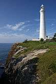
Ōmazaki Lighthouse
 Ōmazaki Lighthouse | |
 Japan | |
| Location |
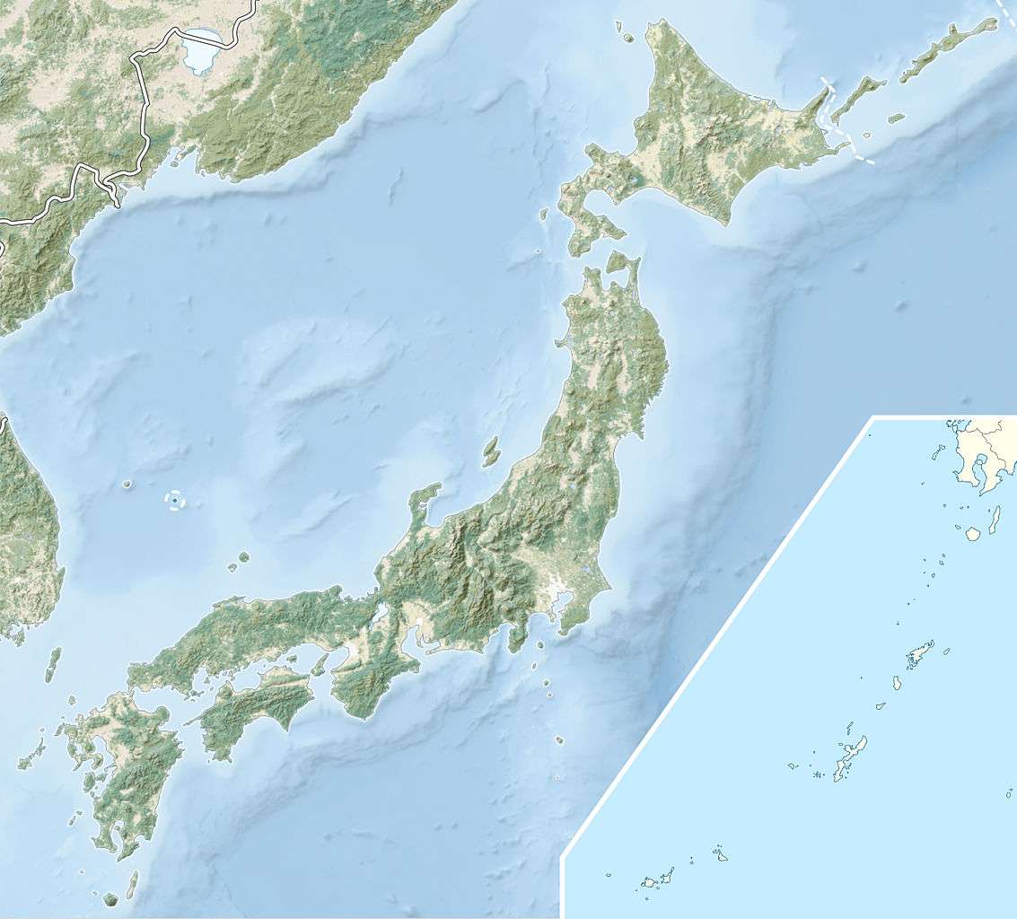
Ōma Aomori Prefecture Japan |
|---|---|
| Coordinates | 41°33′17.2″N 140°54′41.9″E / 41.554778°N 140.911639°ECoordinates: 41°33′17.2″N 140°54′41.9″E / 41.554778°N 140.911639°E |
| Year first constructed | 1921 (first) |
| Year first lit | 1953 (current) |
| Automated | 1991 |
| Foundation | concrete basement |
| Construction | concrete tower |
| Tower shape | cylibdrical tower with balcony and lantern |
| Markings / pattern | white and black bands tower, white lantern |
| Height | 25.4 metres (83 ft) |
| Focal height | 36 metres (118 ft) |
| Original lens | Fourth Order Fresnel |
| Intensity | 120,000 candela |
| Range | 17 nautical miles (31 km; 20 mi)[1] |
| Characteristic | Fl (3) W 30s |
| Fog signal | one 10s. blast every 50s. |
| Admiralty number | M6634 |
| NGA number | 3832 |
| ARLHS number | JPN-2636 |
| Japan number | JCG-1550[2] |
The Ōmazaki Lighthouse (大間埼灯台 Ōmazaki tōdai) is a lighthouse located at the northernmost extremity of Honshū island, on Bentenjima, an island 600 meters off Cape Ōmazaki in Ōma, Aomori Prefecture, Japan. It is within the borders of the Shimokita Hanto Quasi-National Park.
The Ōmazaki Lighthouse illuminates the Tsugaru Strait at the entrance to Mutsu Bay. Its light can be seen across the strait to Hokkaido.
History
Work began on the Ōmazaki Lighthouse in September 1920, and it was first lit on November 1, 1921. During World War II, it was hit repeated by air strikes by United States Navy aircraft and by 1945 it was in ruins. While being rebuilt after the war, it was again severely damaged by the 1952 Tokachioki Earthquake. The second generation lighthouse was completed in July 1953. A radar beacon was established on April 17, 1983. Since April 1, 1993, the lighthouse has been fully automated, and is now unmanned.
It is listed as one of the “50 Lighthouses of Japan” by the Japan Lighthouse Association.
See also
References
- ↑ Ōma Saki Lighthouses of Japan (Japanese)
- ↑ Ōmazaki Lighthouse Lighthouse Directory
External links
- Lighthouses in Japan (Japanese)
Lighthouses of Japan | ||
|---|---|---|
| Early Meiji lighthouses (Léonce Verny) |
|  |
| Later Meiji lighthouses (“Brunton’s Children”) |
| |
| Taisho period lighthouses |
| |
| Modern lighthouses |
| |