Øyarvatnet
| Øyarvatnet | |
|---|---|
| Øyarvatn | |
 Øyarvatnet 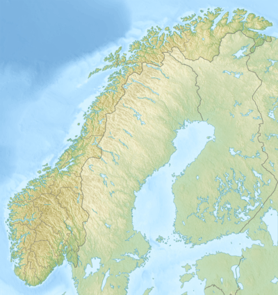 Øyarvatnet | |
| Location |
Sirdal (Vest-Agder) and Valle (Aust-Agder) |
| Coordinates | 58°59′16″N 07°06′41″E / 58.98778°N 7.11139°E / 58.98778; 7.11139 |
| Primary inflows | Rosskreppfjorden |
| Primary outflows | Kvina river |
| Basin countries | Norway |
| Max. length | 6.6 kilometres (4.1 mi) |
| Max. width | 7 kilometres (4.3 mi) |
| Surface area | 8.05 km2 (3.11 sq mi) |
| Shore length1 | 36.51 kilometres (22.69 mi) |
| Surface elevation | 837 metres (2,746 ft) |
| References | NVE |
| 1 Shore length is not a well-defined measure. | |
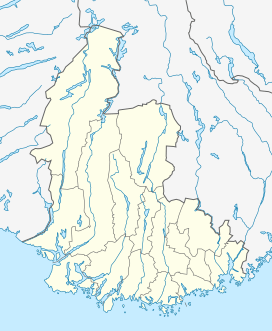
Øyarvatnet or Øyarvatn is a lake in Norway. It sits on the border between the municipalities of Valle in Aust-Agder county and Sirdal in Vest-Agder county, about 30 kilometres (19 mi) northeast of the village of Lunde, Sirdal and about 32 kilometres (20 mi) west of Austad in Bygland. The lake is part of the Kvina river system. It is located just to the south of the lake Rosskreppfjorden, which flows into it. The dam at the south end of the 8.05-square-kilometre (3.11 sq mi) lake keeps it at an elevation of 837 metres (2,746 ft).[1]
See also
References
- ↑ "Øyarvatn" (in Norwegian). yr.no. Retrieved 2010-05-19.
This article is issued from Wikipedia - version of the 8/17/2016. The text is available under the Creative Commons Attribution/Share Alike but additional terms may apply for the media files.