Île Tamara lighthouse
 Île Tamara Lighthouse Guinea | |
| Location |
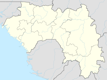
Îles de Los, Conakry Guinea |
|---|---|
| Coordinates | 9°27′29″N 13°50′01″W / 9.457960°N 13.833648°WCoordinates: 9°27′29″N 13°50′01″W / 9.457960°N 13.833648°W |
| Year first constructed | 1906 |
| Construction | masonry tower |
| Tower shape | cylindrical tower with balcony and lantern |
| Markings / pattern | white tower, red balcony and lantern |
| Height | 25 metres (82 ft) |
| Focal height | 95 metres (312 ft) |
| Range | 26 nautical miles (48 km; 30 mi)[1] |
| Characteristic | Fl W 5s. |
| Admiralty number | D3090 |
| NGA number | 24620 |
| ARLHS number | GUN-003[2] |
The Île Tamara lighthouse is a lighthouse in Guinea. It was constructed on Île Tamara, outermost of the Îles de Los, in 1906, and has been active since that time. It serves as the landfall light for Conakry. The lighthouse tower itself is only 33 feet (10 m) tall; however, as it was constructed on top of a large boulder, its focal plane is considerably higher, at 311 feet (95 m).
References
- ↑ Lighthouse Explorer
- ↑ Rowlett, Russ. "Lighthouses of Guinea". The Lighthouse Directory. University of North Carolina at Chapel Hill. Retrieved February 4, 2016.
- Lighthouses of Guinea at the Lighthouse Database
- Tamara Light at Lighthouse Explorer Database
External links
This article is issued from Wikipedia - version of the 2/4/2016. The text is available under the Creative Commons Attribution/Share Alike but additional terms may apply for the media files.