Ågskardet
| Ågskardet | |
|---|---|
| Village | |
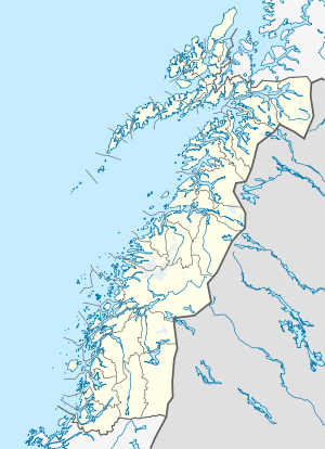 Ågskardet  Ågskardet Location in Nordland | |
| Coordinates: 66°43′09″N 13°28′14″E / 66.71917°N 13.47056°ECoordinates: 66°43′09″N 13°28′14″E / 66.71917°N 13.47056°E | |
| Country | Norway |
| Region | Northern Norway |
| County | Nordland |
| District | Salten |
| Municipality | Meløy |
| Elevation[1] | 11 m (36 ft) |
| Time zone | CET (UTC+01:00) |
| • Summer (DST) | CEST (UTC+02:00) |
| Post Code | 8184 Ågskardet |
| Climate | Cfc |
Ågskardet is a village in the municipality of Meløy in Nordland county, Norway. It is located on the southern side of the Holandsfjorden, about 3.5 kilometres (2.2 mi) north of the village of Tjong (in Rødøy). There were 127 inhabitants in 2008.[2]
The village lies along Norwegian County Road 17, with a ferry connection to a port, just west of Halsa. The ferry is the only connection to the rest of Meløy municipality to the north. The village is situated just north of the border with Rødøy municipality. The village has its own school, chapel/community centre, and some private companies.[3]
References
- ↑ "Ågskardet" (in Norwegian). yr.no. Retrieved 2012-02-08.
- ↑ "Ågskardet" (in Norwegian). Retrieved 2012-02-08.
- ↑ Store norske leksikon. "Ågskardet" (in Norwegian). Retrieved 2012-02-08.
External links
This article is issued from Wikipedia - version of the 7/31/2016. The text is available under the Creative Commons Attribution/Share Alike but additional terms may apply for the media files.