South Havra
| Norse name | Hafrey |
|---|---|
| Meaning of name | "Ewe Island" |
 Aerial view of South Havra | |
| Location | |
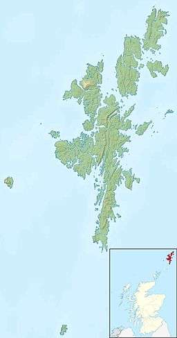 South Havra South Havra shown within Shetland | |
| OS grid reference | HU360268 |
| Physical geography | |
| Island group | Shetland |
| Area | 59 hectares (0.23 sq mi) |
| Area rank | 183= [1] |
| Highest elevation | 42 metres (138 ft) |
| Administration | |
| Sovereign state | United Kingdom |
| Country | Scotland |
| Council area | Shetland Islands |
| Demographics | |
| Population | 0 |
| References | [2][3][4][5] |
South Havra (Old Norse: Hafrey)[5] is an uninhabited island in the Scalloway Islands, Shetland, Scotland.
Geography and geology
South Havra lies south of Burra and west of the southern peninsula of the Mainland, Shetland.
The island's rock is "epidiotic syenite with undifferentiated schist and gneiss."[3]
The soil is fairly fertile, but the lack of running water meant that, unusually for Shetland, the islanders resorted to building a windmill to grind corn.
Geological features on the island include caves and natural arches
Little Havra is to its west.
History
Olaf Sinclair, foud (a kind of magistrate) of all Shetland lived here in the 16th century.
The island's ruined windmill is an unusual sight in the Shetland Islands, especially as some have pointed out, that the Dutch were amongst the archipelago's most frequent visitors.[6]
South Havra has been uninhabited since May, 1923. Previously the population was big enough to support a school.[3]
References
- ↑ Area and population ranks: there are c. 300 islands over 20 ha in extent and 93 permanently inhabited islands were listed in the 2011 census.
- ↑ 2001 UK Census per List of islands of Scotland
- 1 2 3 Haswell-Smith, Hamish (2004). The Scottish Islands. Edinburgh: Canongate. ISBN 978-1-84195-454-7.
- ↑ Get-a-map (Map). Ordnance Survey.
- 1 2 Anderson, Joseph (Ed.) (1893) Orkneyinga Saga. Translated by Jón A. Hjaltalin & Gilbert Goudie. Edinburgh. James Thin and Mercat Press (1990 reprint). ISBN 0-901824-25-9
- ↑ "Windmills of Scotland". Windmill World. Retrieved 2008-11-06.
| Inhabited islands | ||
|---|---|---|
| Other islands | ||
| Towns and villages | ||
| Mainland Parishes | ||
| Maritime features | ||
Extreme points
| ||
| Topics | ||
Coordinates: 60°1′31.5″N 1°21′11″W / 60.025417°N 1.35306°W