Simanjiro Conservation Easement
| Simanjiro Conservation Easement | |
|---|---|
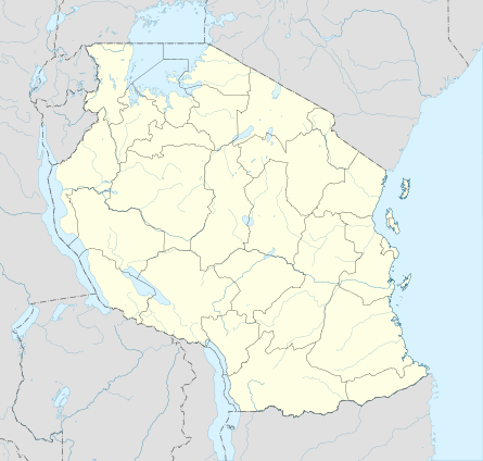 Location in Tanzania | |
| Location | Simanjiro District |
| Nearest city | Terrat |
| Coordinates | 3°52′S 36°36′E / 3.867°S 36.600°ECoordinates: 3°52′S 36°36′E / 3.867°S 36.600°E |
| Established | 2005 |
The Simanjiro Conservation Easement is a novel payment for ecosystem services scheme in the Simanjiro Plains of Tanzania, an important wet-season grazing area between Tarangire National Park and Mount Kilimanjaro. This contractual agreement between individual villages and a consortium of tourism vendors obligates local residents to forgo agricultural activities in some areas in return for annual cash payments of 5 million Tanzanian shillings (US$3000 or €2300 as of January 2013) per village.[1]
It is significant because it is among the first payment for ecosystem services (PES) projects to exclude the involvement of government conservation agencies.[2]
Expanding crop production had come in conflict with wildlife for some time, leading the regional government to try to restrict cultivation in the plains.[3]
The scheme started with Terrat in 2004 and 2005.[4] The village of Sukuro joined later.[1]
Notes
- 1 2 Bruder 2011.
- ↑ Nelson 2010.
- ↑ Baird 2009.
- ↑ Baird 2009, p. 82.
References
- Bruder, Jessica (2011-05-22). "Into the Bush, With a Lighter Footprint". The New York Times. p. 8. ISSN 0362-4331. Retrieved 2013-01-24.
- Nelson, Fred; Charles Foley; Lara S. Foley; Abraham Leposo; Edward Loured David Peterson; Mike Peterson; Thad Peterson; Hassan Sachedina; Andrew Williams (2010-02-01). "Payments for Ecosystem Services as a Framework for Community-Based Conservation in Northern Tanzania" (PDF). Conservation Biology. 24 (1): 78–85. doi:10.2307/40419632. ISSN 0888-8892. Retrieved 2013-01-24.
- Baird, Timothy D.; Paul W. Leslie; J. Terrence McCabe (2009-08-01). "The Effect of Wildlife Conservation on Local Perceptions of Risk and Behavioral Response". Human Ecology. 37 (4): 463–474. doi:10.2307/40343988. ISSN 0300-7839. JSTOR 40343988.