Ravni Topolovac
| Ravni Topolovac Равни Тополовац | |
|---|---|
| Village | |
|
The new Orthodox Church | |
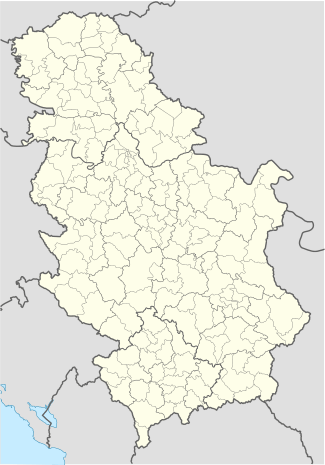 Ravni Topolovac Location of Ravni Topolovac within Serbia | |
| Coordinates: 45°27′19″N 20°34′05″E / 45.45528°N 20.56806°ECoordinates: 45°27′19″N 20°34′05″E / 45.45528°N 20.56806°E | |
| Country | Serbia |
| Province | Vojvodina |
| District | Central Banat |
| Elevation | 69 m (226 ft) |
| Population (2002) | |
| • Ravni Topolovac | 1,352 |
| Time zone | CET (UTC+1) |
| • Summer (DST) | CEST (UTC+2) |
| Postal code | 23212 |
| Area code(s) | +381(0)23 |
| Car plates | ZR |


Ravni Topolovac (Serbian Cyrillic: Равни Тополовац) is a village in Serbia. It is situated in the Žitište municipality, Central Banat District, Vojvodina province. The village has a Serb ethnic majority (88.09%) and its population numbering 1,352 people (2002 census).
Historical names
Some sources say that the first mention of the village called Topolovac dating from the seventeenth century. As stated, it was a settlement with predominantly Serbian population. In the area around Bečkerek, Lugosi and Timisoara there were more settlements under this name. For Hungary maps relating to the sixteenth, seventeenth and eighteenth century we find several villages under this name. Thus, the name transferred to more moves in the Banat villages along the river Tamis (Secanj, Šarca, Catherine). After World War II, the new settlers were given by Catherine the name of the settlement flat Topolovac.
The village belongs to the area now called the Middle Banat (I swear district, Torontalska County, Bečkerečki district, Tamiš Banat, Timisoara Banat, Tamiš district, Central district) in north latitude 45° 26 'and east longitude 20° 35'. Altitude resorts and Atari flat Topolovac range of 79 to
- 1794–853 Katarinafeld (Каthаrinafeld)
- 1854–1864 Katarinenfeld(Katharinenfeld)
- 1864–1878 Katarinfeld (Каtharinfeld)
- 1878–1918 Katalinfalva (Katarinfalva)
- 1918–1920 Katarina
- 1920–1922 Katarinovac
- 1922–1941 Katarina
- 1941–1944 Kathreinfeld
- 1944–1947 Katarina (bilo je predloženo Tolbuhinovo)
- 1947–1948 Topolovac
- 1948–1949 Banatski Topolovac
- 1949– Ravni Topolovac
Historical population
- 1948: 2454
- 1953: 2086
- 1961: 2096
- 1971: 1817
- 1981: 1656
- 1991: 1445 1407
- 2002: 1483 1352
See also
References
- Slobodan Ćurčić, Broj stanovnika Vojvodine, Novi Sad, 1996.
- Borisa Radovanovic,Ravni Topolovac,monografija naselja, SANU, Beograd 1991.
| Wikimedia Commons has media related to Ravni Topolovac. |