Piz Vadret (Livigno Alps)
| Piz Vadret | |
|---|---|
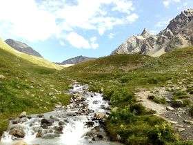 Piz Vadret (left summit) from Val Muragl | |
| Highest point | |
| Elevation | 3,199 m (10,495 ft) |
| Prominence | 308 m (1,010 ft) [1] |
| Parent peak | Piz Languard |
| Coordinates | 46°30′32.6″N 9°57′2.6″E / 46.509056°N 9.950722°ECoordinates: 46°30′32.6″N 9°57′2.6″E / 46.509056°N 9.950722°E |
| Geography | |
 Piz Vadret Location in Switzerland | |
| Location | Graubünden, Switzerland |
| Parent range | Livigno Alps |
Piz Vadret is a mountain of the Swiss Livigno Alps, located east of Samedan in the canton of Graubünden. It lies just north of Fuorcla Muragl, between the valleys of Champagna, Muragl and Prüna.
The closest access is from the funicular station at Muottas Muragl.
References
External links
This article is issued from Wikipedia - version of the 5/9/2016. The text is available under the Creative Commons Attribution/Share Alike but additional terms may apply for the media files.