Mugalkhod
| Mugalkhod | |
|---|---|
| village | |
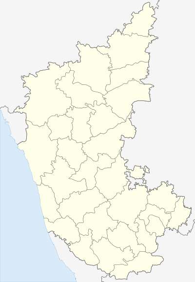 Mugalkhod  Mugalkhod Location in Karnataka, India | |
| Coordinates: 16°22′33″N 75°12′29″E / 16.3759°N 75.2081°ECoordinates: 16°22′33″N 75°12′29″E / 16.3759°N 75.2081°E | |
| Country |
|
| State | Karnataka |
| District | Bagalkot |
| Talukas | Mudhol |
| Government | |
| • Type | Panchayat raj |
| • Body | Gram panchayat |
| Population (2001) | |
| • Total | 7,168 |
| Languages | |
| • Official | Kannada |
| Time zone | IST (UTC+5:30) |
| ISO 3166 code | IN-KA |
| Vehicle registration | KA |
| Website |
karnataka |
Mugalkhod is a village in the northern state of Karnataka, India.[1][2] It is located in the Mudhol taluk of Bagalkot district in Karnataka.
Demographics
At the 2001 India census, Mugalkhod had a population of 7168 with 3677 males and 3491 females. It's 10 km from Mahalingpur and 10 km from Mudhol[1]
See also
References
- 1 2 Village code= 142000 "Census of India : Villages with population 5000 & above". Registrar General & Census Commissioner, India. Retrieved 2008-12-18.
- ↑ "Yahoomaps India : Mugalkhod, Bagalkot, Karnataka". Retrieved 2008-12-18.
External links
District HQ: Bagalkot | |
| Villages and Towns |
|
This article is issued from Wikipedia - version of the 10/16/2016. The text is available under the Creative Commons Attribution/Share Alike but additional terms may apply for the media files.