Mongun-Taiga
| Mongun-Taiga | |
|---|---|
| Tuvan: Mөңgүn-Taiga | |
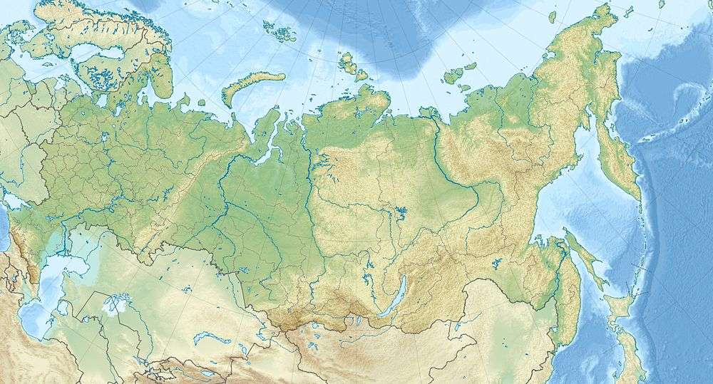 Mongun-Taiga Location in Russia | |
| Highest point | |
| Elevation | 3,970 m (13,020 ft) |
| Coordinates | 50°16′46″N 90°07′12″E / 50.27944°N 90.12000°ECoordinates: 50°16′46″N 90°07′12″E / 50.27944°N 90.12000°E |
| Geography | |
| Location | Tuva, Russia |
| Parent range | Altai |
Mongun-Taiga, also known as Mungun-Taiga (Tuvan: Мөңгүн-Тайга - Silver Mountain) is a massif in Mongun-Taiga kozhuun, Russia. The Russian part of the Altay Mountains is considered part of Western Siberia, but Mongun-Taiga in 1932 was transferred (along with the north of Uvs Nuur Basin) from the Mongolian People's Republic of Tuva, and in 1944 became part of Eastern Siberia.
References
- Mangun-Taiga — Belarusian Encyclopedia. 18. 2000. Series 75. Retrieved 8 June 2012.
This article is issued from Wikipedia - version of the 3/1/2015. The text is available under the Creative Commons Attribution/Share Alike but additional terms may apply for the media files.