Lucka
For other uses, see Lucka (disambiguation).
| Lucka | ||
|---|---|---|
|
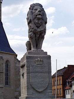
Wettinerbrunnen, erected in memory of the 1307 battle | ||
| ||
 Lucka | ||
Location of Lucka within Altenburger Land district 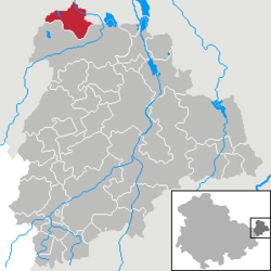 | ||
| Coordinates: 51°5′42″N 12°20′7″E / 51.09500°N 12.33528°ECoordinates: 51°5′42″N 12°20′7″E / 51.09500°N 12.33528°E | ||
| Country | Germany | |
| State | Thuringia | |
| District | Altenburger Land | |
| Government | ||
| • Mayor | Kathrin Backmann | |
| Area | ||
| • Total | 12.99 km2 (5.02 sq mi) | |
| Population (2015-12-31)[1] | ||
| • Total | 3,823 | |
| • Density | 290/km2 (760/sq mi) | |
| Time zone | CET/CEST (UTC+1/+2) | |
| Postal codes | 04613 | |
| Dialling codes | 034492 | |
| Vehicle registration | ABG | |
| Website | www.lucka.de | |

Lucka is a town in the Thuringian landkreis of Altenburger Land.
History
The settlement of the area around Lucka occurred in the early Stone Age (5000-2500 b.c.). Lucka was first mentioned in writing in 1320 as "opidum Luckowe". The area was also the site of a battle in 1307 between the Habsburgs and the Wettins. Within the German Empire (1871–1918), Lucka was part of the Duchy of Saxe-Altenburg.
International relations
Main article: List of twin towns and sister cities in Germany
Lucka is twinned with:
Town Division
Lucka is divided into three parts: the town itself, Breitenhain and Prößdorf.
Personalities
- Otto Engert—a Communist politician (b. in Prößdorf)
- Erika Zuchold - World Champion and Olympic Medalist in Gymnastics

Lucka's Church
References
- The information in this article is based on and/or translated from that found in its German equivalent.
This article is issued from Wikipedia - version of the 11/5/2015. The text is available under the Creative Commons Attribution/Share Alike but additional terms may apply for the media files.